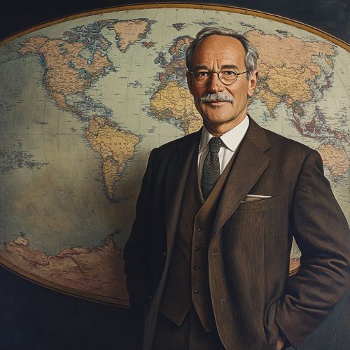
Walther Tobler
Early Life and Education
Walther Tobler was born on June 16, 1930, in Zürich, Switzerland. He developed an early interest in geography and cartography, which led him to pursue higher education in these fields. Tobler attended the Swiss Federal Institute of Technology (ETH Zürich), where he earned his diploma in geography. His academic journey continued at the University of Washington, where he obtained his Ph.D. in geography under the supervision of the renowned geographer William Garrison.
Academic Career
Tobler began his academic career at the University of Michigan, where he worked as a professor of geography. During his time there, he made significant contributions to the field of geospatial analysis and spatial modeling. His work laid the foundation for many modern techniques used in Geographic Information Systems (GIS).
In 1977, Tobler joined the faculty at the University of California, Santa Barbara (UCSB), where he continued his research and teaching until his retirement. At UCSB, he was instrumental in the development of the National Center for Geographic Information and Analysis (NCGIA), a research consortium dedicated to advancing the field of GIS.
Tobler's First Law of Geography
One of Tobler's most significant contributions to geography is his formulation of the First Law of Geography, which states: "Everything is related to everything else, but near things are more related than distant things." This principle has become a foundational concept in spatial analysis and has influenced various fields, including urban planning, transportation, and environmental science.
Contributions to Cartography
Tobler was a pioneer in the field of cartography, particularly in the development of computer-based cartographic techniques. He was one of the first geographers to use computers for map-making and spatial analysis. His work in this area led to the creation of innovative mapping techniques, such as flow maps and cartograms.


Computational Geography
Tobler's interest in computational methods extended beyond cartography. He was a leading figure in the field of computational geography, which involves the use of computer algorithms and models to analyze spatial data. His research in this area included the development of spatial interaction models, which are used to predict the movement of people, goods, and information across space.
Tobler's Hyperelliptical Projection
In addition to his work on spatial models, Tobler developed several innovative map projections. One of his notable contributions is the Hyperelliptical Projection, a type of map projection that minimizes distortion by using elliptical shapes. This projection is particularly useful for representing global data in a way that preserves the relative sizes and shapes of geographic features.
Legacy and Influence
Walther Tobler's contributions to geography and cartography have had a lasting impact on the field. His work has influenced a wide range of disciplines, from urban studies to environmental management. Tobler's First Law of Geography continues to be a guiding principle for researchers and practitioners in spatial analysis.
Tobler's influence extends beyond his academic contributions. He was a mentor to many students and young researchers, helping to shape the next generation of geographers. His legacy is also evident in the numerous awards and honors he received throughout his career, including the Cartography and Geographic Information Society (CaGIS)'s Distinguished Career Award and the Association of American Geographers (AAG)'s Honors for Distinguished Scholarship.
See Also
- Geographic Information Systems (GIS)
- Spatial Analysis
- Cartography
- Urban Planning
- Environmental Science
References
- [Insert references here]
