The Role of Geostatistics in Soil Analysis
Introduction
Geostatistics is a branch of statistics that deals with spatial or spatiotemporal datasets. Developed originally to predict probability distributions of ore grades for mining operations, it is currently applied in diverse disciplines including petroleum geology, hydrogeology, hydrology, meteorology, oceanography, geochemistry, geographical information systems, remote sensing, epidemiology, landscape ecology, soil science, and forest ecology. In the context of soil science, geostatistics plays a crucial role in soil analysis. This article delves into the role of geostatistics in soil analysis, providing an in-depth understanding of the subject matter.


Geostatistics and Soil Analysis: An Overview
Soil analysis is a set of various methods used to study soil characteristics and properties. It involves the study of soil structure and texture, soil pH, mineral content, organic matter, and various other properties. Geostatistics, on the other hand, provides the tools and techniques to analyze spatial variability and draw conclusions from it. The integration of geostatistics in soil analysis has revolutionized the way soil properties are studied and understood.
The Concept of Spatial Variability in Soil Analysis
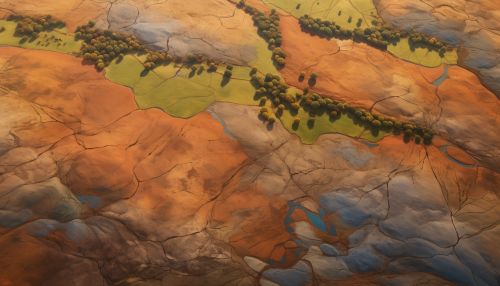
Spatial variability in soil properties is a common phenomenon. It refers to the natural variation in the physical and chemical properties of soil across different geographical locations. This variability is influenced by numerous factors such as climate, topography, vegetation, and human activities. Geostatistics provides a robust framework to quantify this spatial variability, which is crucial for accurate soil analysis.

Geostatistical Techniques in Soil Analysis
Several geostatistical techniques are employed in soil analysis. These include:
Variogram Analysis
Variogram analysis is a fundamental tool in geostatistics used to quantify spatial dependence. It provides a measure of the difference between data pairs as a function of the lag distance separating them. In soil analysis, variogram analysis is used to study the spatial continuity of soil properties.
Kriging
Kriging is a geostatistical interpolation technique used to predict the value of a variable at an unobserved location from observations at nearby locations. In soil analysis, kriging is used to predict soil properties at unsampled locations based on the soil properties observed at sampled locations.
Sequential Gaussian Simulation
Sequential Gaussian simulation is a stochastic simulation method used to generate multiple equally probable realizations of a spatially correlated variable. In soil analysis, this technique is used to assess the uncertainty associated with the prediction of soil properties.
Applications of Geostatistics in Soil Analysis
Geostatistics finds wide-ranging applications in soil analysis. Some of these include:
Soil Mapping
Geostatistics is extensively used in soil mapping. It helps in the creation of detailed and accurate soil maps that depict the spatial distribution of various soil properties. These maps are invaluable tools for land use planning, agricultural management, and environmental assessment.
Soil Pollution Assessment
Geostatistics plays a vital role in the assessment of soil pollution. It aids in the identification of pollution hotspots and the estimation of pollutant concentrations. This information is crucial for devising effective soil remediation strategies.
Soil Fertility Evaluation
Geostatistics is also used in the evaluation of soil fertility. It assists in the spatial prediction of soil nutrient levels, which is essential for optimizing fertilizer application and improving crop yield.


Conclusion
The role of geostatistics in soil analysis is indispensable. It provides the necessary tools and techniques to understand and quantify the spatial variability in soil properties. This understanding is crucial for accurate soil mapping, pollution assessment, and fertility evaluation. As the field of soil science continues to evolve, the application of geostatistics is expected to become even more pervasive and integral to soil analysis.
