The Role of Geostatistics in Predicting Sea Level Rise
Introduction
Geostatistics is a branch of statistics that deals with spatial or spatiotemporal datasets. Developed originally to predict probability distributions of ore grades for mining operations, it is currently applied in diverse disciplines including petroleum geology, hydrogeology, hydrology, meteorology, oceanography, geochemistry, geometallurgy, geography, forestry, environmental control, landscape ecology, soil science, and agriculture (melon-growing). In the context of climate change, geostatistics plays a crucial role in predicting sea level rise. This article delves deep into the role of geostatistics in predicting sea level rise, the methodologies involved, and its implications for future climate change mitigation strategies.

Geostatistics: An Overview
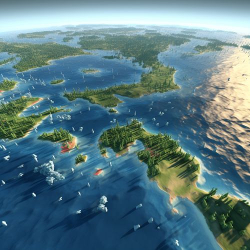
Geostatistics is a discipline that focuses on the statistical analysis of spatial and spatiotemporal phenomena. It involves the collection, analysis, and interpretation of data that are spatially referenced. The primary goal of geostatistics is to predict the values of a random field at unobserved locations based on observations at known locations. This is achieved through a variety of statistical techniques such as kriging, spatial autocorrelation, and spatial interpolation. Geostatistics is widely used in various fields such as earth sciences, environmental studies, and climate change research.
Role of Geostatistics in Predicting Sea Level Rise
The prediction of sea level rise is a complex process that involves the analysis of various factors such as temperature, ice melt rates, ocean currents, and atmospheric pressure. Geostatistics provides a robust framework for analyzing these factors and predicting future sea level rise. The following sections delve into the specific roles played by geostatistics in predicting sea level rise.

Data Collection
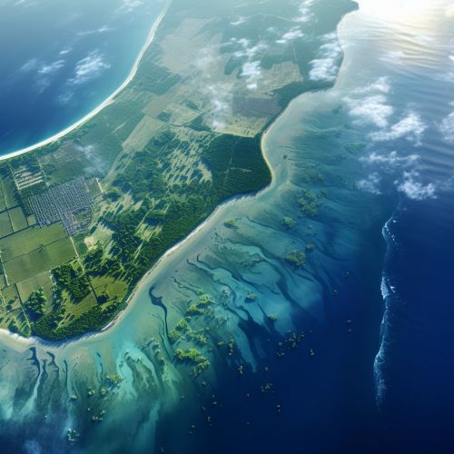
Geostatistics plays a crucial role in the collection of spatial data related to sea level rise. This involves the use of various tools and techniques such as remote sensing, satellite imagery, and Geographic Information Systems (GIS). These tools enable researchers to collect data on a large scale and at a high resolution, thereby providing a comprehensive picture of the current state of sea level rise.
Data Analysis
Once the data is collected, geostatistics is used to analyze the spatial patterns and trends in the data. This involves the use of statistical techniques such as spatial autocorrelation, which measures the degree of similarity between values at different locations, and spatial interpolation, which estimates values at unobserved locations based on observed data. These techniques allow researchers to identify areas that are most affected by sea level rise and predict future trends.
Prediction of Sea Level Rise
The ultimate goal of geostatistics in the context of sea level rise is to predict future trends. This is achieved through a process known as kriging, which is a method of interpolation that takes into account the spatial autocorrelation of the data. Kriging provides a best linear unbiased prediction of the sea level at unobserved locations, thereby enabling researchers to predict future sea level rise with a high degree of accuracy.
Implications for Climate Change Mitigation
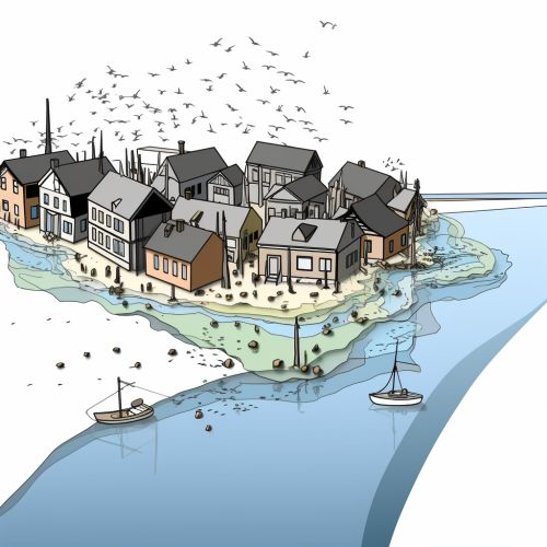
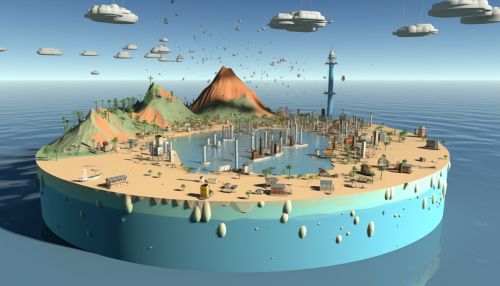
The accurate prediction of sea level rise is crucial for the development of effective climate change mitigation strategies. By providing a robust framework for data collection, analysis, and prediction, geostatistics plays a key role in informing these strategies. This includes the identification of areas most at risk from sea level rise, the development of adaptation strategies, and the monitoring of the effectiveness of these strategies.
Conclusion
In conclusion, geostatistics plays a critical role in predicting sea level rise. Through its robust data collection, analysis, and prediction methodologies, it provides invaluable insights into the current state and future trends of sea level rise. These insights are crucial for informing climate change mitigation strategies and ensuring the long-term sustainability of our planet.
