The Role of Geoinformatics in Predicting Ocean Currents
Introduction
Geoinformatics, also known as geospatial informatics, is an interdisciplinary field that uses computational techniques to study geographic and spatial data. One of its applications is in the prediction of ocean currents, which are continuous, directed movements of ocean water. These currents are influenced by a variety of factors, including the Earth's rotation, wind, temperature, and salinity differences. Understanding and predicting these currents is crucial for a variety of reasons, including navigation, climate prediction, and marine resource management.


Geoinformatics: An Overview
Geoinformatics combines the study of different scientific disciplines such as geosciences, computer science, and mathematics. It involves the development and use of computational tools and techniques to capture, store, process, analyze, manage, and present geographic data. This field uses various technologies, including Geographic Information Systems (GIS), remote sensing, and global positioning systems (GPS).
Role of Geoinformatics in Predicting Ocean Currents
The prediction of ocean currents is a complex process that requires the integration of a vast amount of data from various sources. Geoinformatics plays a crucial role in this process by providing the tools and techniques necessary to collect, analyze, and visualize this data.
Data Collection
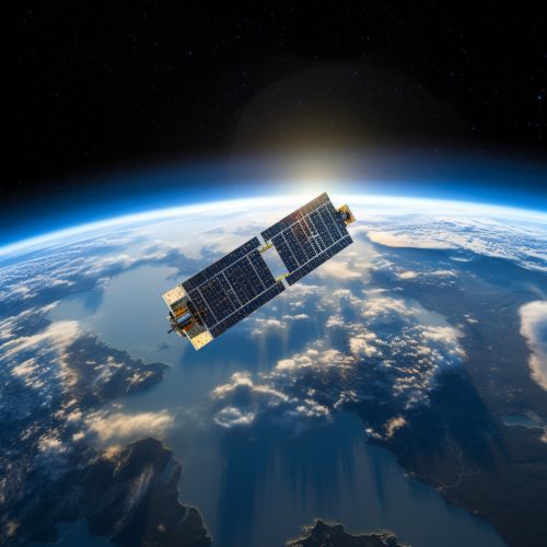
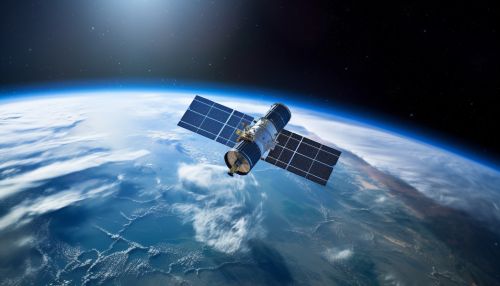
The first step in predicting ocean currents is the collection of relevant data. This includes data on sea surface temperatures, salinity levels, wind patterns, and bathymetric data (the topography of the ocean floor). Geoinformatics technologies, particularly remote sensing and GPS, are instrumental in collecting this data. Remote sensing allows for the collection of data over large areas and at regular intervals, while GPS provides precise location data.
Data Analysis
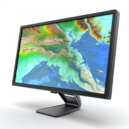
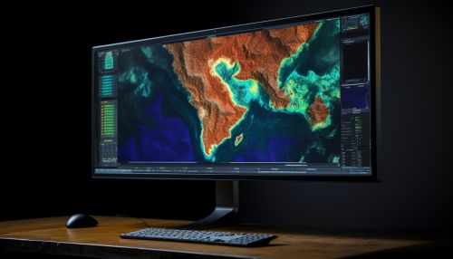
Once the data is collected, it needs to be processed and analyzed. This is where GIS comes into play. GIS is a powerful tool that allows for the integration, analysis, and visualization of geographic data. It can handle large datasets and perform complex spatial analyses, making it ideal for the task of predicting ocean currents.
In the context of ocean current prediction, GIS can be used to create models that simulate the behavior of ocean currents based on the input data. These models can take into account a variety of factors, including temperature, salinity, wind patterns, and bathymetry. The output of these models can then be visualized using GIS, providing a detailed picture of the predicted ocean currents.
Verification and Validation
The final step in the process is the verification and validation of the predicted ocean currents. This involves comparing the predicted currents with actual observed currents. If the predictions are accurate, the model is considered valid and can be used for future predictions. If not, the model needs to be adjusted and the process repeated.


Applications of Ocean Current Predictions
The ability to accurately predict ocean currents has a wide range of applications. These include:
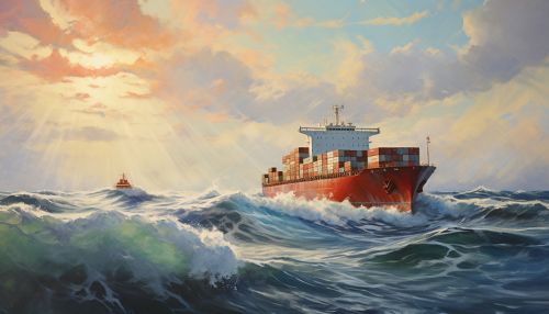
- Navigation: Accurate predictions of ocean currents can aid in navigation by allowing ships to take advantage of favorable currents and avoid unfavorable ones. This can result in significant fuel savings and reduced travel times.
- Climate Prediction: Ocean currents play a crucial role in the Earth's climate system by transporting heat from the equator towards the poles. Understanding these currents can therefore aid in climate prediction.
- Marine Resource Management: Ocean currents can influence the distribution and abundance of marine resources. Accurate predictions of these currents can therefore aid in the management of these resources.

Conclusion
Geoinformatics plays a crucial role in the prediction of ocean currents. By providing the tools and techniques necessary to collect, analyze, and visualize geographic data, it allows for the creation of accurate models of ocean currents. These predictions have a wide range of applications, from navigation to climate prediction to marine resource management.
