The Role of Geoinformatics in Predicting Land Use Changes
Introduction
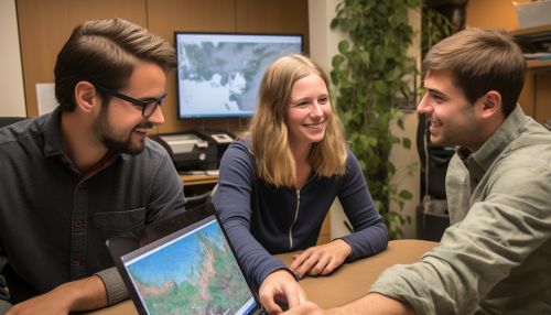
Geoinformatics, a discipline that combines geosciences and informatics, plays a crucial role in predicting land use changes. It employs various tools and techniques such as Geographic Information Systems (GIS), remote sensing, and GPS to collect, analyze, and interpret geographic data. This data is then used to understand patterns, trends, and relationships that inform land use planning and management.

Geoinformatics and Land Use Change
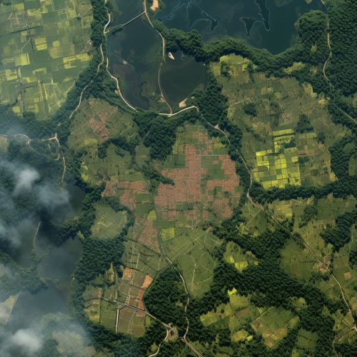
Land use change refers to the modification of a region's landscape from one type of land use to another. It can involve changes such as deforestation, urbanization, or agricultural intensification. Geoinformatics provides a scientific basis for predicting these changes by analyzing spatial data and creating predictive models.
Geographic Information Systems (GIS)
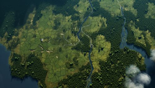
A key tool in geoinformatics, GIS is used to capture, store, manipulate, analyze, manage, and present spatial or geographic data. It allows researchers to visualize, question, analyze, and interpret data to understand relationships, patterns, and trends. GIS can integrate different types of data, such as population density, land cover, and climate data, to create comprehensive maps that aid in predicting land use changes.


Remote Sensing
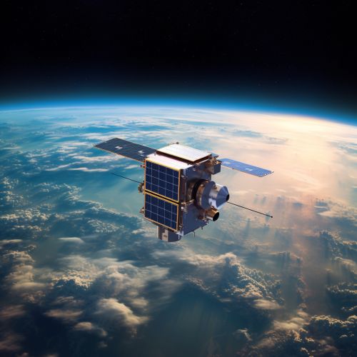
Remote sensing involves the acquisition of information about an object or phenomenon without making physical contact with the object. In the context of land use change, remote sensing provides data about the earth's surface, which can be used to monitor changes over time. This data is often collected through satellites or aircraft and is analyzed using GIS.

Global Positioning System (GPS)
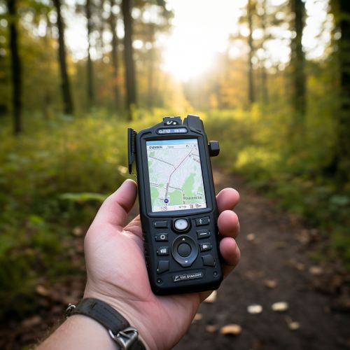
GPS is a satellite-based navigation system that provides location and time information in all weather conditions, anywhere on or near the Earth. In geoinformatics, GPS is used to accurately locate features on the earth's surface, which is crucial in mapping and monitoring land use changes.
Predictive Modeling in Geoinformatics
Predictive modeling in geoinformatics involves the use of statistical techniques to predict future land use changes based on current and historical data. These models can incorporate a wide range of variables, including socio-economic factors, environmental conditions, and policy scenarios. The output of these models can inform land use planning and policy decisions.


Implications of Predicted Land Use Changes
Predicted land use changes have significant implications for various sectors, including urban planning, agriculture, forestry, and environmental conservation. For instance, urban planners can use predicted land use changes to guide the development of infrastructure and services. Similarly, farmers can use this information to plan their cropping patterns, while foresters can use it to manage forest resources. Environmental conservationists can also use predicted land use changes to identify areas at risk of degradation and implement conservation measures.


Conclusion
Geoinformatics plays a pivotal role in predicting land use changes. By leveraging tools such as GIS, remote sensing, and GPS, and techniques such as predictive modeling, geoinformatics provides valuable insights that inform land use planning and management. As land use change continues to be a critical issue in the face of rapid urbanization and environmental change, the role of geoinformatics in predicting these changes will only become more important.
