The Role of Geoinformatics in Predicting Earthquake Aftershocks
Introduction
Geoinformatics, also known as geospatial informatics, is a discipline that uses a combination of information science, geospatial data, and computer science to study and predict various phenomena related to the Earth's surface. One of the key applications of geoinformatics is in the prediction of earthquake aftershocks. This article explores the role of geoinformatics in predicting earthquake aftershocks, a critical aspect of seismology and disaster management.


Geoinformatics: An Overview
Geoinformatics is a multidisciplinary field that integrates various technologies such as Geographic Information Systems (GIS), remote sensing, and Global Positioning Systems (GPS) to collect, analyze, and interpret geospatial data. This data is often used to create detailed maps and models of the Earth's surface, which can be used for a variety of purposes, from urban planning to environmental conservation to disaster management.


Earthquake Aftershocks: An Overview
Earthquake aftershocks are smaller earthquakes that occur in the same area as the mainshock (the largest earthquake in a sequence) and are a direct result of changes in the Earth's crust caused by the mainshock. Aftershocks can continue over a period of weeks, months, or even years after the mainshock, depending on the scale of the original earthquake and the characteristics of the Earth's crust in the affected area.


Role of Geoinformatics in Predicting Earthquake Aftershocks
Geoinformatics plays a crucial role in predicting earthquake aftershocks by providing tools and methodologies for collecting, analyzing, and interpreting geospatial data related to seismic activities. The following sections delve deeper into how geoinformatics aids in predicting aftershocks.
Data Collection
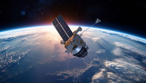
Geoinformatics tools such as GIS, remote sensing, and GPS are used to collect a wide range of geospatial data related to earthquakes. This includes data on the location and magnitude of the mainshock, the geological characteristics of the affected area, and the spatial distribution of aftershocks.


Data Analysis
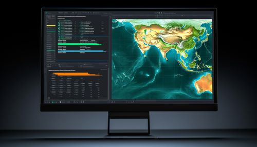
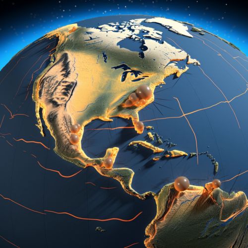
Once the data is collected, geoinformatics tools are used to analyze and interpret this data. For example, GIS can be used to create spatial models of the affected area, which can help in identifying patterns in the distribution of aftershocks. Similarly, remote sensing data can be used to analyze changes in the Earth's surface caused by the mainshock, which can provide valuable insights into the likelihood of aftershocks.


Aftershock Prediction
Based on the analysis of the collected data, geoinformatics can help in predicting the likelihood of aftershocks, their potential locations, and their possible magnitudes. This is done using various statistical and computational models that take into account the geospatial data and the geological characteristics of the affected area.


Conclusion
Geoinformatics plays a pivotal role in predicting earthquake aftershocks, providing valuable tools and methodologies for collecting, analyzing, and interpreting geospatial data related to seismic activities. By doing so, it aids in disaster management and helps in mitigating the impact of earthquakes on human lives and infrastructure.
