The Role of Geoinformatics in Predicting Avalanche Risk
Introduction
Geoinformatics, a discipline that uses information science to address geographical problems, plays a crucial role in predicting avalanche risk. This field combines geospatial analysis and modeling, remote sensing, and global positioning systems (GPS) to gather and interpret geographical data. This data is then used to predict natural disasters, including avalanches, with a higher degree of accuracy.

Geoinformatics and Its Relevance to Avalanche Risk Prediction
Geoinformatics is a multidisciplinary field that uses and develops concepts, methods, and tools for managing geographical data. It is particularly relevant to avalanche risk prediction because of its ability to gather, analyze, and interpret geographical data in a way that can predict the likelihood of avalanches occurring.
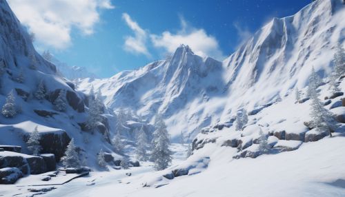
Avalanches pose a significant risk in mountainous regions worldwide. They are caused by a complex interplay of factors, including snowpack conditions, weather, terrain, and human activity. Predicting these events is a challenging task due to the complex nature of these factors and their interactions. However, geoinformatics provides tools and techniques that can help in this endeavor.


Tools and Techniques in Geoinformatics
Geoinformatics uses a variety of tools and techniques to gather and interpret geographical data. These include:
Remote Sensing
Remote sensing is a technique used to acquire information about an object or phenomenon without making physical contact with the object. In the context of avalanche prediction, remote sensing can be used to gather data about snowpack conditions, weather patterns, and terrain characteristics.
Geographic Information Systems (GIS)
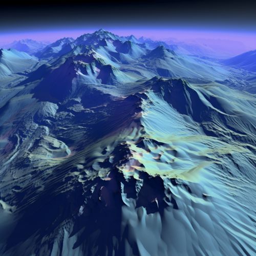
Geographic Information Systems (GIS) are systems designed to capture, store, manipulate, analyze, manage, and present spatial or geographic data. GIS can be used to create detailed maps of avalanche-prone areas, analyze terrain characteristics, and model potential avalanche paths.
Global Positioning Systems (GPS)
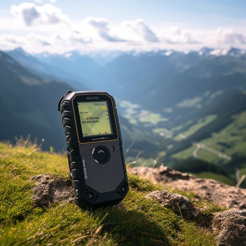
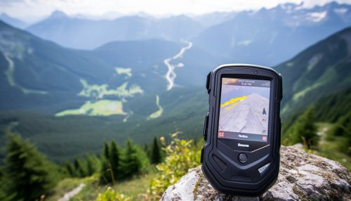
Global Positioning Systems (GPS) are used to determine the precise location of an object or person. In avalanche prediction, GPS can be used to track the movements of individuals in avalanche-prone areas, providing valuable data that can be used to assess risk.
Application of Geoinformatics in Avalanche Risk Prediction
The tools and techniques of geoinformatics are applied in several ways to predict avalanche risk.
Data Collection
Geoinformatics tools are used to collect data about the factors that contribute to avalanches. This includes data about snowpack conditions, weather patterns, and terrain characteristics. This data is collected through remote sensing, GPS tracking, and other methods.
Data Analysis
The collected data is then analyzed using GIS and other tools. This analysis can reveal patterns and trends that can help predict the likelihood of an avalanche occurring. For example, GIS can be used to analyze terrain characteristics and identify areas that are particularly prone to avalanches.
Modeling and Prediction
Based on the data analysis, models can be created to predict the likelihood of an avalanche occurring. These models take into account the various factors that contribute to avalanches and their interactions. The models can then be used to predict the likelihood of an avalanche occurring in a particular area at a particular time.
Limitations and Challenges
While geoinformatics provides powerful tools for predicting avalanche risk, there are also limitations and challenges. These include the complexity of the factors involved in avalanches, the difficulty of collecting accurate and comprehensive data, and the limitations of current modeling techniques. Despite these challenges, geoinformatics continues to play a crucial role in improving our ability to predict avalanches and mitigate their risks.
Conclusion
Geoinformatics plays a crucial role in predicting avalanche risk. Through the use of tools like remote sensing, GIS, and GPS, it allows for the collection, analysis, and interpretation of geographical data in a way that can predict the likelihood of avalanches. While there are challenges and limitations, the field continues to evolve and improve, contributing to our understanding and mitigation of avalanche risks.
