Remote Sensing in Environmental Management
Introduction
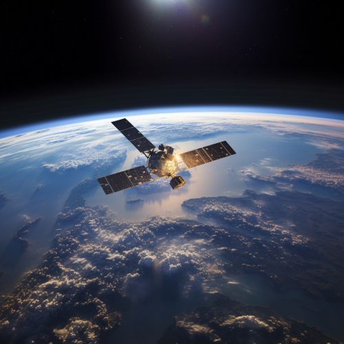
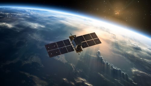
Remote sensing is a scientific method that uses sensors to detect and classify objects on Earth, including the atmosphere and the oceans, from a distance. These sensors can be on satellites or mounted on aircraft. Remote sensing in environmental management is a crucial tool for monitoring and managing natural resources and the environment. It provides valuable data and information that can be used to make informed decisions about environmental management strategies 1(https://www.sciencedirect.com/science/article/pii/S0034425717303014).
History of Remote Sensing in Environmental Management
The application of remote sensing in environmental management dates back to the early 20th century when aerial photography was used for topographic mapping and land use planning 2(https://www.tandfonline.com/doi/full/10.1080/01431161.2015.1054049). The advent of satellite remote sensing in the late 20th century revolutionized environmental management by providing a means to monitor large and inaccessible areas regularly and consistently.
Principles of Remote Sensing
Remote sensing works on the principle of recording, observing, and interpreting the interaction between electromagnetic energy and matter 3(https://www.sciencedirect.com/science/article/pii/S0034425717303014). The sensors detect this interaction from a distance and convert it into an image or data that can be analyzed to provide useful information about the object or area being observed.

Types of Remote Sensing
There are two main types of remote sensing: passive and active. Passive remote sensing involves the detection of natural radiation that is emitted or reflected by the object or surrounding areas. In contrast, active remote sensing involves the emission of signals towards the object and then detecting and measuring the radiation that is reflected back 4(https://www.sciencedirect.com/science/article/pii/S0034425717303014).
Applications of Remote Sensing in Environmental Management
Remote sensing has a wide range of applications in environmental management. Some of the key applications include:
Land Use and Land Cover Mapping
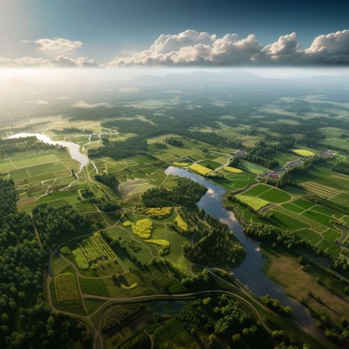
Remote sensing is extensively used for land use and land cover mapping. It provides a cost-effective and efficient way to map and monitor changes in land use and land cover over large areas and over time 5(https://www.sciencedirect.com/science/article/pii/S0034425717303014).
Forest Management
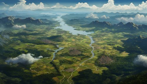
Remote sensing is used in forest management for tasks such as forest inventory, forest health assessment, and monitoring of forest fires and deforestation 6(https://www.sciencedirect.com/science/article/pii/S0034425717303014).
Water Resources Management
In water resources management, remote sensing is used for mapping and monitoring water bodies, assessing water quality, and estimating water availability and usage 7(https://www.sciencedirect.com/science/article/pii/S0034425717303014).

Disaster Management
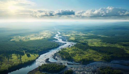
Remote sensing plays a crucial role in disaster management. It is used for disaster prediction, monitoring, response, recovery, and mitigation. It is particularly useful in the case of disasters that affect large areas, such as floods, wildfires, and hurricanes 8(https://www.sciencedirect.com/science/article/pii/S0034425717303014).
Challenges and Future Directions
Despite its many advantages, the use of remote sensing in environmental management also comes with several challenges. These include the high cost of acquiring and processing remote sensing data, the need for specialized skills to interpret the data, and the limitations of remote sensing in capturing certain types of data 9(https://www.sciencedirect.com/science/article/pii/S0034425717303014).
Looking forward, advancements in technology and data processing techniques are expected to overcome some of these challenges and expand the applications of remote sensing in environmental management. In particular, the integration of remote sensing data with other types of data, such as ground-based observations and social media data, is expected to provide more comprehensive and accurate information for environmental management 10(https://www.sciencedirect.com/science/article/pii/S0034425717303014).


See Also
- Satellite Imagery in Environmental Management
- GIS in Environmental Management
- Climate Change Monitoring
References
1. Remote Sensing in Environmental Management 2. History of Remote Sensing 3. Principles of Remote Sensing 4. Types of Remote Sensing 5. Applications of Remote Sensing in Environmental Management 6. Forest Management 7. Water Resources Management 8. Disaster Management 9. Challenges and Future Directions
