The Role of Geoinformatics in Geohazard Assessment
Introduction
Geoinformatics, a discipline that uses Geographic Information Systems (GIS) and remote sensing technologies to gather and analyze geographical data, plays a crucial role in geohazard assessment. Geohazards, which include earthquakes, landslides, floods, and volcanic eruptions, pose significant threats to human life and infrastructure. The application of geoinformatics in geohazard assessment allows for the prediction, monitoring, and management of these natural disasters, contributing to the reduction of their impact and the improvement of disaster response strategies.


Geoinformatics: An Overview
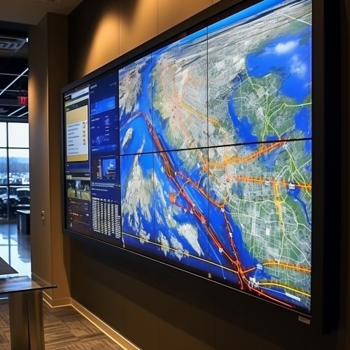
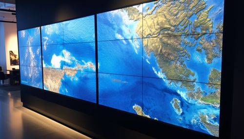
Geoinformatics is a multidisciplinary field that integrates geosciences and informatics. It involves the collection, analysis, and interpretation of geographical data using advanced technologies such as GIS, remote sensing, and Global Positioning Systems (GPS). These technologies enable the visualization and analysis of spatial data, providing valuable insights into various geographical phenomena.
Geohazards: An Overview
Geohazards are natural geological phenomena that can cause loss of life, property damage, and environmental degradation. They include earthquakes, landslides, floods, volcanic eruptions, and tsunamis. Geohazards are often unpredictable and can occur with little to no warning, making them a significant concern for communities worldwide.


The Role of Geoinformatics in Geohazard Assessment
Geoinformatics plays a critical role in geohazard assessment through the following ways:
Prediction and Early Warning
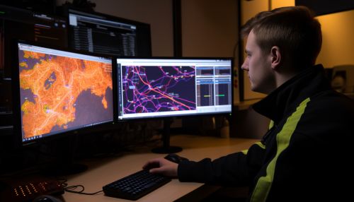
Geoinformatics technologies such as GIS and remote sensing allow for the prediction of geohazards by analyzing spatial and temporal patterns. For instance, GIS can be used to create hazard maps that identify areas at risk of landslides or floods. Similarly, remote sensing technologies can detect changes in the Earth's surface that may indicate an impending earthquake or volcanic eruption.

Monitoring and Management
Geoinformatics also facilitates the monitoring and management of geohazards. Remote sensing technologies can provide real-time data on ongoing geohazards, enabling authorities to track their progress and make informed decisions on evacuation and other response strategies. GIS, on the other hand, can be used to manage the aftermath of a geohazard, such as planning the reconstruction of affected areas.
Risk Assessment
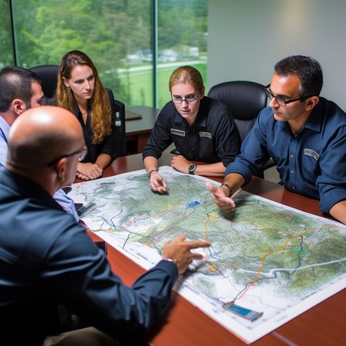
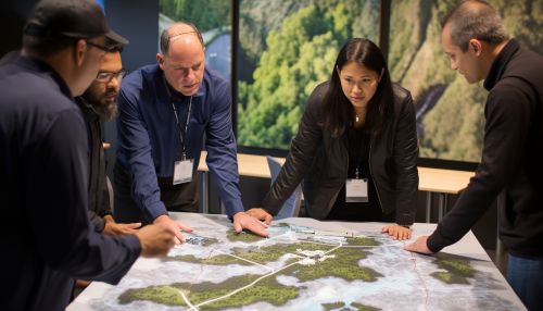
Risk assessment is another crucial aspect of geohazard management where geoinformatics plays a significant role. By analyzing geographical data, GIS can help assess the potential impact of a geohazard on a specific area, taking into account factors such as population density, infrastructure, and environmental conditions. This information can then be used to develop effective disaster response and mitigation strategies.


Conclusion
The role of geoinformatics in geohazard assessment is indispensable. By leveraging advanced technologies such as GIS and remote sensing, geoinformatics provides valuable insights into the prediction, monitoring, and management of geohazards, ultimately contributing to the reduction of their impact and the improvement of disaster response strategies.
