Geohazards
Introduction
Geohazards are geological and environmental conditions and processes that pose a threat to life, property, or the environment. These include natural phenomena such as earthquakes, volcanic eruptions, landslides, tsunamis, floods, and avalanches, as well as human-induced hazards such as subsidence and soil erosion. Understanding and managing geohazards is a key aspect of geoscience and involves the application of a range of scientific disciplines, including geology, geophysics, hydrology, and geomorphology.
Types of Geohazards
Natural Geohazards


Natural geohazards are those that occur as a result of natural processes and phenomena. They are often unpredictable and can have devastating effects on human life and the environment.
Earthquakes
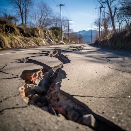
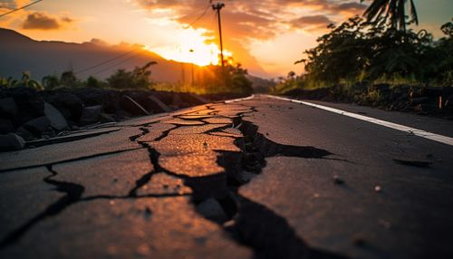
Earthquakes are sudden shaking or trembling of the ground caused by the movement of tectonic plates beneath the Earth's surface. They can cause significant damage to buildings, infrastructure, and can lead to loss of life. The study of earthquakes and earthquake prediction is a key aspect of seismology.
Volcanic Eruptions
Volcanic eruptions occur when there is a sudden release of magma from beneath the Earth's surface. This can result in the release of ash, gas, and lava, which can have significant impacts on the local environment and human populations. Volcanology is the scientific study of volcanoes and volcanic phenomena.
Landslides
Landslides are the movement of rock, earth, or debris down a slope due to gravity. They can be triggered by a variety of factors, including heavy rainfall, earthquakes, or human activity. Landslides can cause significant damage to property and infrastructure, and can also lead to loss of life.
Tsunamis
Tsunamis are large ocean waves caused by underwater earthquakes, volcanic eruptions, or landslides. They can cause significant damage to coastal areas and can lead to loss of life.
Floods
Floods are an overflow of water onto normally dry land, often caused by heavy rainfall, melting snow, or dam failure. They can cause significant damage to property and infrastructure, and can also lead to loss of life.
Avalanches
Avalanches are a rapid flow of snow down a sloping surface, often triggered by a combination of slope angle, snowfall, temperature, wind direction, and human activity. They can cause significant damage and loss of life, particularly in mountainous areas.
Human-Induced Geohazards
Human-induced geohazards are those that are caused or exacerbated by human activity. These include subsidence, soil erosion, and contamination of water resources.
Subsidence
Subsidence is the sinking or lowering of the ground surface, often as a result of human activities such as mining, extraction of groundwater, or the decomposition of organic material in landfills. It can cause significant damage to buildings and infrastructure.
Soil Erosion
Soil erosion is the removal of the top layer of soil by wind, water, or human activity. It can lead to a loss of fertile land, damage to aquatic ecosystems, and increased risk of landslides.
Contamination of Water Resources
Human activities can also lead to the contamination of water resources, through the release of pollutants into the environment. This can have significant impacts on human health and the environment.
Risk Assessment and Management
The assessment and management of geohazards involves a range of scientific disciplines and techniques. This includes the use of remote sensing and geophysical surveys to identify and monitor potential hazards, the development of hazard maps and risk assessments, and the implementation of mitigation strategies to reduce the impact of geohazards.
Remote Sensing and Geophysical Surveys
Remote sensing and geophysical surveys are key tools in the identification and monitoring of geohazards. These techniques allow scientists to study the Earth's surface and subsurface, and to detect changes that may indicate an increased risk of a geohazard.
Hazard Maps and Risk Assessments
Hazard maps and risk assessments are used to identify areas that are at risk from geohazards, and to estimate the potential impact of a geohazard event. This information is used to inform land-use planning and emergency response planning.
Mitigation Strategies
Mitigation strategies are measures that are taken to reduce the impact of geohazards. These can include engineering solutions, such as the construction of sea walls to protect against tsunamis, or land-use planning measures, such as restricting development in areas that are at high risk from landslides.
Conclusion
Geohazards pose a significant threat to human life, property, and the environment. Understanding and managing these hazards is a key aspect of geoscience, and involves the application of a range of scientific disciplines and techniques. While it is not always possible to prevent geohazards, through careful study and planning, it is possible to reduce their impact and protect communities and the environment.
