The Role of Geoinformatics in Archaeology
Introduction
Geoinformatics, a discipline that merges geosciences and informatics, has significantly impacted various fields, including archaeology. This article explores the role of geoinformatics in archaeology, delving into the various techniques and applications that have revolutionized archaeological studies.
Geoinformatics: An Overview
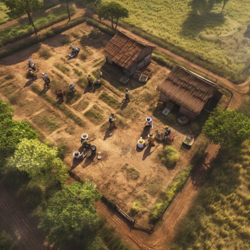
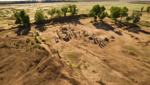
Geoinformatics is a multidisciplinary field that uses information science to analyze geographical and spatial data. It incorporates several technologies such as Geographic Information Systems (GIS), remote sensing, and Global Positioning Systems (GPS), which have found extensive applications in archaeology.
Role of Geoinformatics in Archaeology
The integration of geoinformatics in archaeology has led to the emergence of archaeological informatics, a sub-discipline that uses informatics techniques to analyze archaeological data.

Site Discovery and Mapping
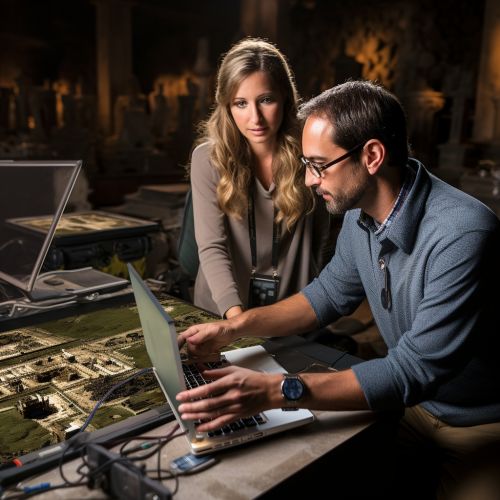
Geoinformatics plays a crucial role in archaeological site discovery and mapping. Techniques such as remote sensing and GIS have made it possible to identify potential archaeological sites without the need for extensive ground surveys.
Data Analysis and Interpretation
Geoinformatics tools like GIS allow archaeologists to analyze and interpret archaeological data in a more efficient and comprehensive manner. Spatial analysis, for instance, enables the study of spatial relationships among archaeological sites.
Cultural Heritage Management
Geoinformatics also plays a significant role in cultural heritage management. It helps in the documentation, preservation, and management of archaeological sites, contributing to the safeguarding of cultural heritage.
Techniques in Geoinformatics
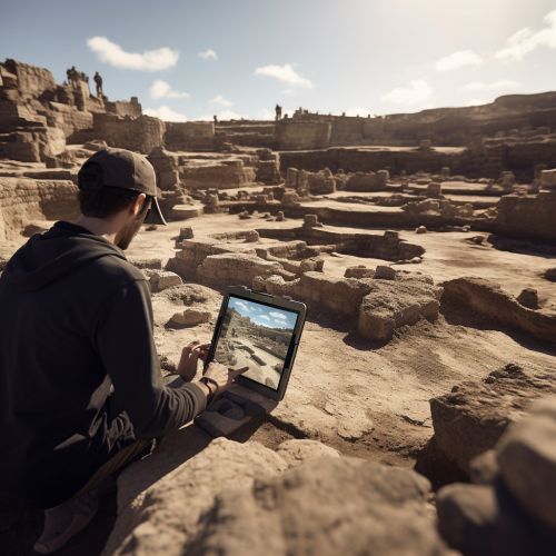
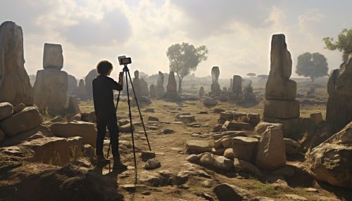
Several geoinformatics techniques have found applications in archaeology. These include remote sensing, GIS, GPS, and digital photogrammetry.
Remote Sensing
Remote sensing involves the acquisition of information about an object or phenomenon without making physical contact. In archaeology, it is used to detect and map archaeological features, which can be either visible or invisible to the naked eye.
Geographic Information Systems
GIS is a system designed to capture, store, manipulate, analyze, manage, and present spatial or geographic data. In archaeology, GIS is used for tasks such as site location prediction, landscape reconstruction, and spatial analysis.
Global Positioning Systems
GPS is a satellite-based navigation system that provides geolocation and time information to a GPS receiver anywhere on or near the Earth. In archaeology, GPS is used for precise mapping and recording of archaeological sites.
Digital Photogrammetry
Digital photogrammetry is the science of making measurements from photographs. It is used in archaeology for creating 3D models of archaeological sites or artifacts.
Case Studies
Several archaeological projects have successfully utilized geoinformatics. These case studies highlight the potential of geoinformatics in archaeological research.
Case Study 1: The Stonehenge Hidden Landscapes Project
The Stonehenge Hidden Landscapes Project used geoinformatics technologies to reveal a complex of previously unknown monuments around the Stonehenge.
Case Study 2: The Chaco Culture National Historical Park
At the Chaco Culture National Historical Park, geoinformatics was used to document and analyze the extensive road network of the ancient Chaco culture.
Case Study 3: The Pompeii Archaeological Research Project
The Pompeii Archaeological Research Project utilized GIS to study the spatial organization of the ancient city of Pompeii.
Conclusion
Geoinformatics has revolutionized archaeological research and practice. Its techniques and applications have enhanced our understanding of the past, contributing to the preservation and interpretation of cultural heritage. As technology advances, the role of geoinformatics in archaeology is expected to expand further, opening new avenues for archaeological research.
