Spatial Analysis in Archaeology
Introduction
Spatial analysis in archaeology is a sub-discipline of archaeology that uses various techniques to study spatial relationships among archaeological features. It involves the collection, recording, and interpretation of location data from archaeological sites. The discipline has been instrumental in understanding the social and cultural aspects of past societies.


Historical Overview
The application of spatial analysis in archaeology has a rich history. The initial use of spatial analysis in archaeology can be traced back to the 19th century when archaeologists began to recognize the importance of spatial relationships in their studies. However, it was not until the 1960s and 1970s, during the New Archaeology movement, that spatial analysis became a standard part of archaeological research.
Techniques of Spatial Analysis in Archaeology
Spatial analysis in archaeology employs a variety of techniques to study the spatial relationships among archaeological features. These techniques range from simple mapping and measurement to more complex statistical analyses.
Mapping and Measurement
Mapping and measurement are the most basic techniques used in spatial analysis. They involve the collection and recording of location data from archaeological sites. This data is then used to create maps and diagrams that illustrate the spatial relationships among archaeological features.
Statistical Analysis
Statistical analysis is a more complex technique used in spatial analysis. It involves the use of statistical methods to analyze location data. This can include techniques such as cluster analysis, point pattern analysis, and spatial autocorrelation.
Geographic Information Systems
Geographic Information Systems (GIS) have become an essential tool in spatial analysis in archaeology. GIS allows archaeologists to store, manipulate, and analyze large amounts of location data. It also enables them to visualize spatial relationships in ways that were not previously possible.
Applications of Spatial Analysis in Archaeology
Spatial analysis in archaeology has a wide range of applications. It can be used to study the spatial organization of archaeological sites, to understand the social and cultural aspects of past societies, and to predict the location of undiscovered archaeological sites.
Spatial Organization of Archaeological Sites
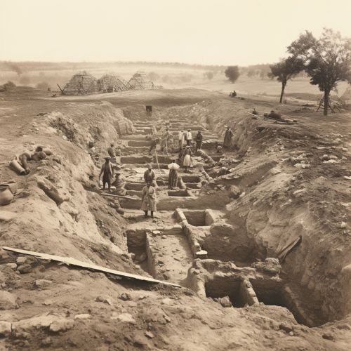
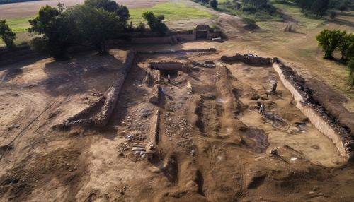
One of the primary applications of spatial analysis in archaeology is the study of the spatial organization of archaeological sites. This involves examining the layout and arrangement of archaeological features to gain insights into the activities that took place at the site.
Social and Cultural Aspects of Past Societies
Spatial analysis can also be used to study the social and cultural aspects of past societies. By examining the spatial relationships among archaeological features, archaeologists can gain insights into social structures, cultural practices, and patterns of behavior.
Predictive Modeling
Predictive modeling is another application of spatial analysis in archaeology. It involves the use of spatial analysis techniques to predict the location of undiscovered archaeological sites. This can be particularly useful in planning archaeological surveys and excavations.
Challenges and Future Directions
Despite its many applications, spatial analysis in archaeology also faces several challenges. These include issues related to data quality and availability, the complexity of spatial relationships, and the need for interdisciplinary collaboration.
Looking forward, the field of spatial analysis in archaeology is likely to continue to evolve and expand. Advances in technology, such as the increasing availability of high-resolution satellite imagery and the development of more sophisticated GIS software, are expected to open up new possibilities for spatial analysis in archaeology.
