Satellite Remote Sensing in Environmental Monitoring
Introduction
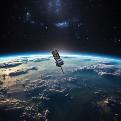
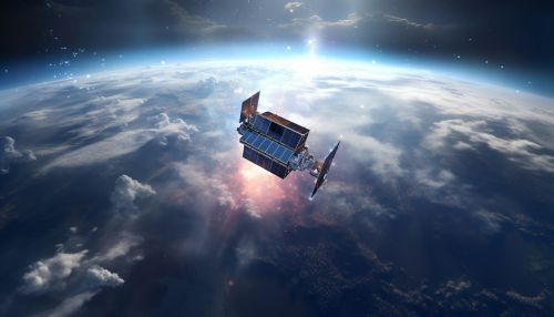
Satellite remote sensing is a scientific method that uses satellites to gather data about the Earth's environment from space. This technology has proven to be an invaluable tool in environmental monitoring, providing detailed and comprehensive data on a global scale.


History and Development of Satellite Remote Sensing
The concept of satellite remote sensing began with the launch of the first artificial satellite, Sputnik 1, by the Soviet Union in 1957. However, it wasn't until the 1970s that satellites were specifically designed and launched for environmental monitoring purposes. The first of these was the Landsat series of satellites, launched by NASA in 1972. Since then, numerous satellites have been launched by various countries and organizations, each with specific capabilities and objectives related to environmental monitoring.
Principles of Satellite Remote Sensing
Satellite remote sensing works on the principle of detection and measurement of electromagnetic radiation, including visible light and infrared. Satellites equipped with remote sensing instruments, known as sensors, capture data about the Earth's surface and atmosphere. These sensors detect the amount of energy reflected or emitted from the Earth's surface at various wavelengths.
Types of Satellite Remote Sensing
There are two primary types of satellite remote sensing: passive and active. Passive remote sensing involves the detection of natural radiation that is emitted or reflected by the object or area being observed. On the other hand, Active remote sensing involves the emission of a signal by the satellite, which then measures the signal's interaction with the Earth's surface.
Applications in Environmental Monitoring
Satellite remote sensing has a wide range of applications in environmental monitoring. These include:
Climate Change Monitoring
Satellite remote sensing plays a crucial role in monitoring climate change. It provides valuable data on sea-level rise, ice cap melting, and changes in vegetation and land use. Satellites such as NASA's Terra and Aqua are equipped with sensors specifically designed to monitor these changes.
Disaster Management
In the event of natural disasters such as floods, earthquakes, and forest fires, satellite remote sensing provides critical information for disaster management. It helps in assessing the extent of damage, planning rescue operations, and post-disaster recovery.
Biodiversity Conservation
Satellite remote sensing aids in biodiversity conservation by providing data on habitat conditions, species distribution, and changes in land use. This information is crucial for the planning and implementation of conservation strategies.
Challenges and Future Directions
Despite its numerous applications, satellite remote sensing faces several challenges. These include technical issues related to the accuracy and resolution of data, as well as policy and regulatory issues. However, advancements in technology and increased collaboration between countries and organizations are expected to overcome these challenges.
The future of satellite remote sensing in environmental monitoring looks promising, with advancements in technology leading to the development of satellites with higher resolution and more specialized sensors. Additionally, the increasing importance of environmental conservation and climate change mitigation is likely to drive further growth in this field.
