Remote Sensing Applications
Introduction
Remote sensing is the science of obtaining information about objects or areas from a distance, typically from aircraft or satellites. This technology has a wide range of applications in various fields, from environmental monitoring to military surveillance. This article will delve into the intricacies of remote sensing applications, providing a comprehensive and detailed examination of the subject.
Principles of Remote Sensing
Remote sensing involves the detection and measurement of radiation of different wavelengths reflected or emitted from distant objects or materials, by which they may be identified and categorizedMore on Principles of Remote Sensing.
Applications of Remote Sensing
Environmental Monitoring
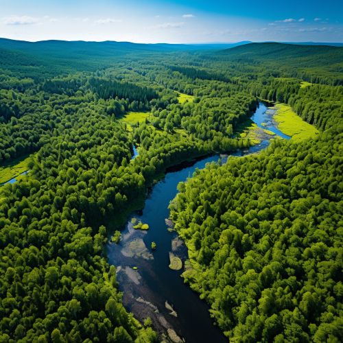
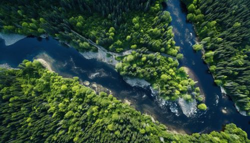
One of the primary applications of remote sensing is in environmental monitoring. This involves the use of remote sensing data to monitor and assess the state of the natural environment and the changes that occur over time. This can include monitoring deforestation, urban growth, the health of agricultural crops, and the spread of wildfires, among other things.


Disaster Management
Remote sensing is also used extensively in disaster management. This can involve monitoring natural disasters such as hurricanes, earthquakes, and floods, as well as man-made disasters such as oil spills. The data collected through remote sensing can be used to assess the extent of the damage, monitor the progress of recovery efforts, and plan for future disaster response effortsMore on Disaster Management.
Military Surveillance
The military also uses remote sensing technology for surveillance purposes. This can involve the use of satellites to monitor enemy activity, as well as the use of drones for more localized surveillance. Remote sensing can also be used to assess the impact of military actions, such as the damage caused by airstrikesMore on Military Surveillance.
Agriculture
In agriculture, remote sensing is used to monitor crop health, soil conditions, and irrigation practices. This can help farmers make more informed decisions about when to plant, irrigate, and harvest their crops, leading to increased productivity and sustainabilityMore on Agriculture.
Climate Change Studies
Remote sensing is also a crucial tool in the study of climate change. By monitoring changes in the Earth's surface temperature, ice caps, and vegetation, scientists can gain a better understanding of the impacts of climate change and develop strategies to mitigate its effectsMore on Climate Change.
Future of Remote Sensing
As technology continues to advance, the applications of remote sensing are expected to expand. This could include the development of more accurate and efficient sensors, the integration of remote sensing data with other types of data, and the use of artificial intelligence to analyze and interpret remote sensing dataMore on Future of Remote Sensing.
