Terra (satellite)
Overview
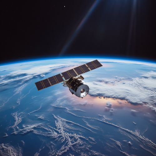
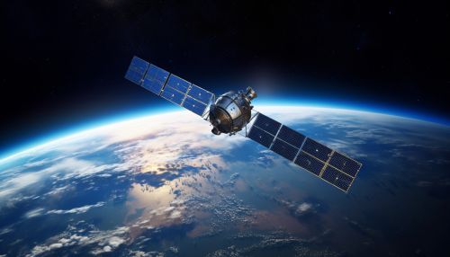
Terra is a multi-national NASA research satellite, launched on December 18, 1999. Its name is derived from the Latin word for Earth, a testament to its mission to monitor our home planet's climate and environmental changes. The satellite is part of NASA's Earth Observing System (EOS), a coordinated series of polar-orbiting and low inclination satellites for long-term global observations of the land surface, biosphere, solid Earth, atmosphere, and oceans.


Design and Development
Terra was developed under the management of NASA's Goddard Space Flight Center (GSFC). The satellite was designed to be a part of the EOS series, a major component of NASA's Earth Science Enterprise (ESE). The ESE was designed to investigate the Earth's land surface, biosphere, atmosphere, and oceans, as well as their interactions with solar radiation and with one another.
The satellite's design was a collaborative effort between NASA, the National Center for Atmospheric Research (NCAR), and other federal agencies and organizations. The Terra satellite carries five instruments that observe Earth's atmosphere, ocean, land, snow and ice, and energy budget. These instruments were developed by various NASA centers and international partners.
Instruments
The five instruments aboard Terra, which were designed to function in a complementary manner, are:
1. Advanced Spaceborne Thermal Emission and Reflection Radiometer (ASTER): ASTER provides high-resolution images of the Earth in 14 different bands of the electromagnetic spectrum, ranging from visible to thermal infrared light. The data obtained by ASTER provides detailed maps of land surface temperature, reflectance, and elevation.
2. Clouds and the Earth's Radiant Energy System (CERES): CERES measures the Earth's total radiation budget and provides cloud property estimates that enable scientists to assess the role of clouds in radiative fluxes from the surface to the top of the atmosphere.
3. Multi-angle Imaging SpectroRadiometer (MISR): MISR provides global-scale cloud motion winds, measures solar radiation reflected by the Earth, and monitors the planet's climate.
4. Moderate Resolution Imaging Spectroradiometer (MODIS): MODIS measures biological and physical processes occurring on the surface of the Earth and within its atmosphere, providing information about the planet's water cycle, primary productivity, and global dynamics.
5. Measurement of Pollution in the Troposphere (MOPITT): MOPITT monitors changes in pollution patterns and its effect on the Earth's climate. It measures the concentration of carbon monoxide in the troposphere, the lowest layer of the Earth's atmosphere.
Mission and Discoveries
The primary objective of the Terra satellite is to provide data to help scientists understand and protect our home planet. Since its launch, Terra has been collecting data about the Earth's system and providing critical insights into various aspects of the Earth's climate, including the effects of human activity and natural disasters on the environment.
One of the significant discoveries made by Terra is the extent of the impact of human activity on the Earth's climate. Data from Terra has provided conclusive evidence that human-produced greenhouse gases have been causing global warming. This has led to a better understanding of the processes that control our climate and improved climate prediction models.
Terra has also been instrumental in monitoring natural disasters such as wildfires, storms, and volcanic eruptions. This has not only provided valuable data to understand these natural processes but has also helped in disaster management and mitigation.
Future of Terra
As of now, Terra is still operational and continues to provide valuable data about the Earth's system. However, like all satellites, Terra has a finite lifespan. The future of Terra and its mission largely depends on the health of its instruments and its ability to continue delivering high-quality data.
NASA has plans for the continuity of the measurements provided by the Terra satellite. The Joint Polar Satellite System (JPSS), a collaborative program between NASA and the National Oceanic and Atmospheric Administration (NOAA), is expected to continue the observations made by Terra.
See Also
- Earth Observing System
- Goddard Space Flight Center
- Joint Polar Satellite System
- National Center for Atmospheric Research
- Advanced Spaceborne Thermal Emission and Reflection Radiometer
- Clouds and the Earth's Radiant Energy System
- Multi-angle Imaging SpectroRadiometer
- Moderate Resolution Imaging Spectroradiometer
- Measurement of Pollution in the Troposphere
