Satellite Navigation System
Introduction
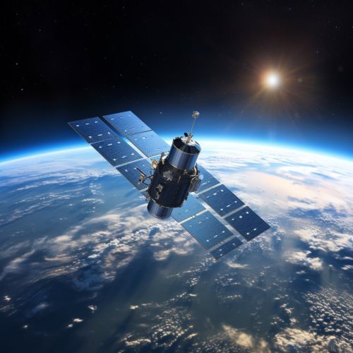
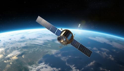
A satellite navigation system is a system of satellites that provide autonomous geo-spatial positioning with global coverage. It allows small electronic receivers to determine their location (longitude, latitude, and altitude) to within a few meters using time signals transmitted along a line of sight by radio from satellites. Receivers calculate the current local time to high precision using time signals transmitted along a line of sight by radio from satellites.


History
The concept of satellite navigation system was first introduced in the mid-20th century. The Transit system, developed by the United States Department of Defense to accurately locate submarines, was the first operational satellite navigation system. The system used a constellation of five satellites and could provide a navigational fix approximately once per hour.
Principles of Operation
The operation of a satellite navigation system is based on a global network of satellites that transmit radio signals in medium earth orbit. A satellite navigation receiver, such as a GPS device, calculates its position by precisely timing the signals sent by the satellites. Each satellite continually transmits messages containing the time the message was transmitted and the satellite's position at the time of message transmission.
There are several types of satellite navigation systems, each with its own unique characteristics and uses. The most well-known is the Global Positioning System (GPS), which is maintained by the United States government. Other systems include the Russian GLONASS, the European Union's Galileo, and China's BeiDou.
Global Positioning System (GPS)
The GPS is a U.S.-owned utility that provides users with positioning, navigation, and timing (PNT) services. This system consists of three segments: the space segment, the control segment, and the user segment. The U.S. Air Force develops, maintains, and operates the space and control segments.
GLONASS
GLONASS is a satellite navigation system, providing real-time position and velocity determination for military and civilian users. The system is a counterpart to GPS and is the second navigational system in operation with global coverage and of comparable precision.
Galileo
Galileo is a global navigation satellite system (GNSS) that is being created by the European Union (EU) through the European GNSS Agency (GSA), headquartered in Prague, Czech Republic, with two ground operations centres in Fucino, Italy, and Oberpfaffenhofen, Germany.
BeiDou
BeiDou is a Chinese satellite navigation system. It consists of two separate satellite constellations – the limited test system that has been operating since 2000, and the full-scale global navigation system that is currently under construction.
Satellite navigation systems have a wide range of applications, both in the civilian and military sectors. These include navigation, surveying, timing and synchronization, and scientific research.
The primary application of satellite navigation systems is in navigation. This includes both land, sea, and air navigation.
Surveying
Satellite navigation systems are widely used in surveying applications. They provide precise positioning information, which is essential for all types of surveying.
Timing and Synchronization
Satellite navigation systems provide highly accurate timing information, which is used in a wide range of applications, including telecommunications, power grid management, and financial services.
Scientific Research
Satellite navigation systems are also used in various scientific research applications, including geodesy, geophysics, and atmospheric science.
Future Developments
The future of satellite navigation systems lies in the integration of different systems and the development of new technologies. This includes the integration of GPS, GLONASS, Galileo, and BeiDou, as well as the development of new systems such as the Indian Regional Navigation Satellite System (IRNSS) and the Japanese Quasi-Zenith Satellite System (QZSS).
