GLONASS
Overview
The Global Navigation Satellite System (GNSS), known as GLONASS, is a space-based satellite navigation system operated by the Russian Aerospace Defence Forces. It provides an alternative to the United States' Global Positioning System (GPS) and the European Union's Galileo systems. GLONASS is the most expensive program of the Russian Federal Space Agency, consuming a third of its budget in 2010.


History
GLONASS was developed by the Soviet Union, beginning in 1976. The system was intended to be a global navigation satellite system that would be used by the Soviet military to provide geolocation and speed data. The development of GLONASS was the Soviet Union's response to the United States' development of GPS. The first GLONASS satellite was launched in October 1982, and the system was declared operational in 1993.
System description
GLONASS is a dual-purpose global system that serves both military and civilian users. It is designed to provide continuous navigation coverage allowing an unlimited number of users equipped with appropriate receivers to determine precise coordinates, velocity, and time anywhere in the world or near-Earth space.
Satellites
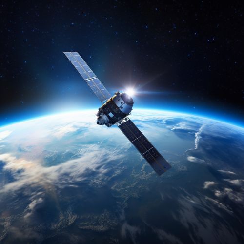
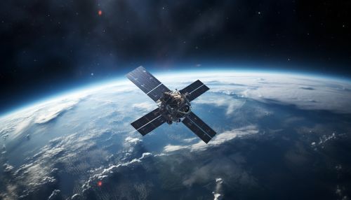
The GLONASS constellation consists of 24 satellites, which are divided into three orbital planes in medium Earth orbit (MEO). Each plane contains eight satellites, which are separated by 45 degrees. The satellites operate in circular orbits at an altitude of 19,100 kilometers (11,900 miles) and with an inclination of 64.8 degrees. The period of each satellite is approximately 11 hours and 15 minutes.
Signal
The GLONASS satellites transmit two types of signal: standard precision (SP) and high precision (HP). Both signals are used by civilian and military users. The SP signal is available globally, while the HP signal is available to authorized users, such as the Russian military.
Accuracy
The accuracy of GLONASS depends on a number of factors, including the type of receiver used, the user's geographic location, and the number of satellites visible to the receiver. The system's standard precision signal has an accuracy of 5–10 meters, while its high precision signal has an accuracy of 1–2 meters.
Usage
GLONASS is used by a variety of applications, including navigation, surveying, geodesy, and timekeeping. It is also used in the Russian military's navigation system and by the Russian Emergency Situations Ministry for search and rescue operations.
