Galileo (satellite navigation)
Introduction
The Global Navigation Satellite System (GNSS) known as Galileo is a satellite navigation system that has been developed by the European Union (EU) and the European Space Agency (ESA). The system, named after the Italian astronomer Galileo Galilei, is intended to provide an independent high-precision positioning system so that European nations do not have to rely on the Global Positioning System (GPS) which is controlled by the United States, or the GLONASS system, controlled by Russia.


Development and Purpose
The development of Galileo was launched in order to end the dependency on GPS and GLONASS for military, civil, and scientific purposes in Europe. The system is designed to provide horizontal and vertical position measurements within 1-metre precision, and better positioning services at higher latitudes than other positioning systems. The use of two different frequencies allows for a better resistance against multipath propagation, thus making Galileo ideal for urban environments.
System Architecture
The Galileo positioning system is composed of three segments: the Space Segment, the Ground Control Segment, and the User Segment. The Space Segment consists of the Galileo satellites themselves, the Ground Control Segment is responsible for the system's ground-based infrastructure and ensures the proper functioning of the satellites, and the User Segment consists of the receivers that make use of the signals transmitted by the satellites.
Satellites
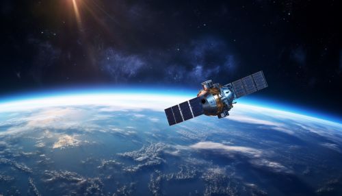
The Galileo system consists of 30 satellites (27 operational and 3 active spares), that are located in three circular Medium Earth Orbit (MEO) planes. The satellites have been deployed in orbit by Ariane 5 and Soyuz-ST rockets, launched from the Guiana Space Centre in French Guiana.
Services
Galileo is designed to provide several levels of service. The Open Service is available without charge and provides a positioning accuracy comparable to the GPS system. The Commercial Service offers improved accuracy and additional features for a fee. The Public Regulated Service is an encrypted, robust service intended for use by government agencies, the military, and emergency services.
