Google Earth
Introduction
Google Earth is a computer program that provides a virtual representation of the Earth, primarily based on satellite imagery. The program maps the Earth by superimposing images obtained from satellite imagery, aerial photography, and GIS data onto a 3D globe. Google Earth allows users to explore the globe with a swipe of their finger, fly over a city, dive in for a closer look at terrain, buildings, and landmarks, and even measure distances between points.
History
Google Earth was originally called EarthViewer 3D, and was created by Keyhole, Inc., a company funded by the CIA's venture capital arm, In-Q-Tel. Google acquired Keyhole in 2004, and the product was subsequently renamed as Google Earth in 2005. Since then, Google Earth has been updated regularly, with the addition of new features and improvements to existing ones.
Features
Google Earth includes a number of features that allow users to interact with the program in various ways. These include:
- Street View: This feature allows users to explore the world at street level. Users can navigate through cities and towns as if they were walking or driving, with 360-degree panoramic views of streets, buildings, and other features.
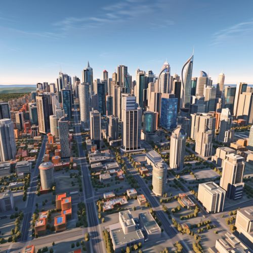
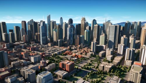
- 3D Buildings: Google Earth includes a feature that allows users to view certain cities and landmarks in 3D. This feature uses photorealistic 3D imagery to provide a more immersive experience.
- Historical Imagery: This feature allows users to view older versions of satellite and aerial imagery, providing a historical perspective on how locations have changed over time.
- Flight Simulator: Google Earth includes a built-in flight simulator that allows users to fly a virtual airplane over any part of the world.
- Sky Mode: This feature allows users to view stars, constellations, planets, and the Milky Way from their location.
- Moon and Mars: Google Earth also includes representations of the Moon and Mars, allowing users to explore these celestial bodies in detail.


Technical Aspects
Google Earth is a powerful tool that uses a variety of technologies to provide its services. These include:
- Satellite Imagery: Google Earth uses images from satellites to provide a detailed view of the Earth's surface. These images are collected by various satellite imaging companies and are updated regularly.
- 3D Rendering: Google Earth uses advanced 3D rendering technology to create realistic representations of buildings, terrain, and other features.
- Geographic Information Systems: Google Earth uses GIS data to accurately map the Earth's surface. This data includes information about roads, buildings, bodies of water, and other features.
- GPS Integration: Google Earth can be used in conjunction with a GPS device to provide real-time location information.
Usage and Applications
Google Earth has a wide range of uses and applications in various fields. These include:
- Education: Google Earth is a valuable tool for educators, as it allows students to explore the world in a way that is not possible with traditional maps. It can be used to teach geography, history, environmental science, and other subjects.
- Research: Researchers in various fields use Google Earth to study the Earth's surface, track changes over time, and conduct other types of research.
- Planning and Development: Urban planners, architects, and developers use Google Earth to visualize and plan projects.
- Travel and Tourism: Google Earth is a useful tool for travelers, as it allows them to explore destinations, plan routes, and get a sense of what a place looks like before they visit.
- Emergency Response and Disaster Management: Google Earth can be used to assist in emergency response and disaster management, as it provides detailed and up-to-date information about the Earth's surface.
Criticisms and Controversies
While Google Earth is a popular and widely used tool, it has also been the subject of some criticism and controversy. These include concerns about privacy, as the program provides detailed images of private property; issues related to national security, as some governments have expressed concern that the program could be used for nefarious purposes; and environmental concerns, as the program's use of satellite imagery contributes to the consumption of energy and other resources.
