Geospatial Intelligence
Overview
Geospatial intelligence, or GEOINT, is a field of knowledge that involves the gathering, analysis, and distribution of information about the physical features of the Earth and the activities that occur on it. This intelligence is derived from the exploitation and analysis of imagery and geospatial information about features and events, where location and time are significant.


History
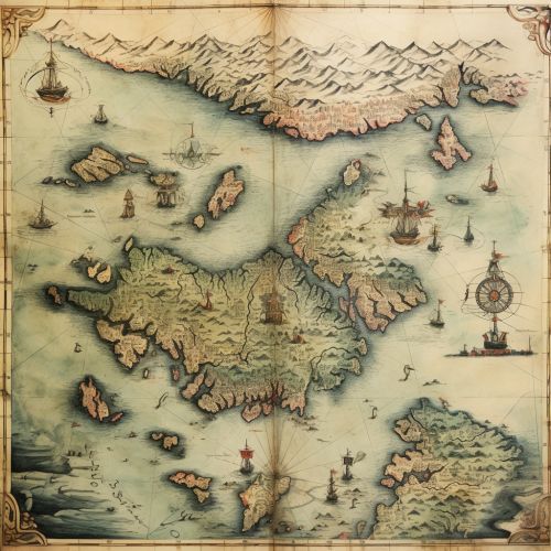
The history of geospatial intelligence dates back to ancient times, when maps were used for military and navigational purposes. However, the term "geospatial intelligence" was not coined until the early 21st century, when the U.S. government established the National Geospatial-Intelligence Agency (NGA) to handle all geospatial intelligence activities.


Sources of Geospatial Intelligence
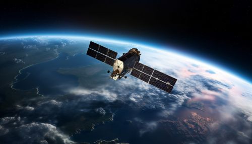
Geospatial intelligence is derived from a variety of sources, including satellite imagery, aerial photography, and mapping and surveying techniques. Other sources include geographic information systems (GIS), which can analyze and visualize data in ways that reveal relationships, patterns, and trends.


Applications
Geospatial intelligence has a wide range of applications, from military and defense to environmental monitoring and urban planning. In the military, it is used for tasks such as target identification, mission planning, and force deployment. In environmental monitoring, it can help track changes in land use, monitor wildlife habitats, and predict natural disasters.


Analysis Techniques
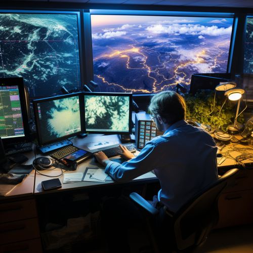
There are several techniques used in the analysis of geospatial intelligence. These include remote sensing, which involves the use of satellites or aircraft to gather data; GIS, which allows for the visualization and analysis of data; and geospatial predictive modeling, which uses statistical techniques to predict future events or behaviors based on geospatial data.


Challenges
Despite its many applications, geospatial intelligence also faces several challenges. These include issues related to data quality, the need for advanced analytical tools, and the handling of large volumes of data. Additionally, there are also legal and ethical issues related to privacy and surveillance.


Future Trends
The future of geospatial intelligence is likely to be shaped by advances in technology, such as the development of more sophisticated remote sensing tools and the increasing use of artificial intelligence in data analysis. Additionally, the growing importance of geospatial data in various fields is likely to increase the demand for professionals with expertise in geospatial intelligence.


