Role of Geoinformatics in Natural Resource Management
Introduction
Geoinformatics, a discipline that merges geosciences and informatics, plays a crucial role in managing natural resources. This field leverages Geographic Information Systems (GIS) and remote sensing technologies to collect, analyze, interpret, and visualize geographic data. The application of geoinformatics in natural resource management aids in the sustainable utilization and conservation of these resources.


Geoinformatics: An Overview
Geoinformatics is a multidisciplinary field that uses informatics to solve complex geographical problems. It combines aspects of geography, computer science, statistics, and cartography to create a comprehensive understanding of spatial patterns and processes. Geoinformatics employs various tools and techniques, including GIS, remote sensing, Global Positioning Systems (GPS), and digital image processing, to analyze and visualize geographic data.
Natural Resource Management: An Overview
Natural resource management refers to the sustainable utilization of major natural resources, such as land, water, air, minerals, forests, fisheries, and wildlife. It involves the management of the ways in which people and natural landscapes interact, aiming to prevent the depletion of these resources and maintain their quality for future generations.


Role of Geoinformatics in Natural Resource Management
Geoinformatics plays a significant role in natural resource management by providing accurate and timely information about the status and trends of resources. This information is crucial for making informed decisions about resource allocation, conservation, and sustainable use.
Resource Assessment
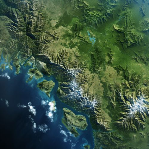
Geoinformatics tools, particularly GIS and remote sensing, are extensively used for resource assessment. These tools help in identifying and quantifying the availability of various natural resources, such as forests, water bodies, minerals, and soil types, in a given area. For instance, remote sensing technology can provide data on forest cover, species composition, and biomass, which can be used for forest management.


Resource Monitoring
Geoinformatics is also used for continuous monitoring of natural resources. Remote sensing satellites provide regular updates on the status of resources, enabling timely detection of any changes or anomalies. This is particularly useful in monitoring resources that are difficult to access, such as glaciers, forests, and wildlife habitats.
Resource Planning and Management
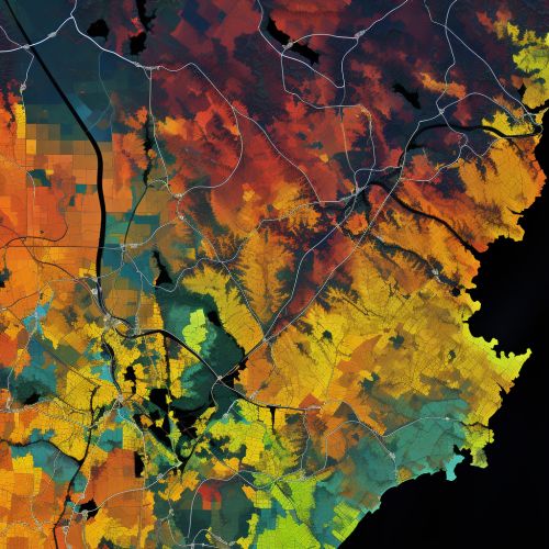
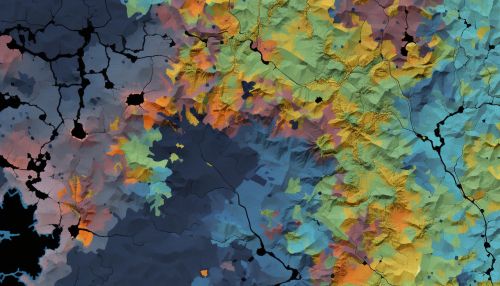
GIS is a powerful tool for resource planning and management. It allows for the integration of various types of data, such as topographic maps, soil maps, and land use maps, to create a comprehensive resource management plan. GIS can also be used to model different scenarios and predict the impact of various management strategies.


Conservation and Sustainability
Geoinformatics plays a crucial role in conservation efforts. It helps in identifying areas of high biodiversity, assessing the impact of human activities on these areas, and planning conservation strategies. Moreover, geoinformatics can aid in monitoring the effectiveness of conservation measures and making necessary adjustments to ensure sustainability.
Challenges and Future Directions
Despite its numerous benefits, the application of geoinformatics in natural resource management faces several challenges. These include the high cost of geoinformatics tools, lack of trained personnel, and issues related to data quality and accessibility. However, advancements in technology and increased awareness about the importance of sustainable resource management are expected to drive the future growth of this field.


