Earth Observation
Introduction
Earth Observation (EO) refers to the gathering of information about the planet's physical, chemical, and biological systems via remote sensing technologies, supplemented by on-the-ground measurements and research. The goal of EO is to monitor and understand the changes in the environment and the implications for human life. The information gathered from these technologies is used in a myriad of applications, including weather forecasting, climate change monitoring, natural disaster management, and resource management.
History of Earth Observation
The history of Earth Observation can be traced back to the early days of photography. In 1858, Gaspard-Félix Tournachon, a French balloonist, took the first aerial photograph from a tethered hot-air balloon. However, the advent of satellite technology in the mid-20th century revolutionized Earth Observation, providing a comprehensive, global perspective of our planet.
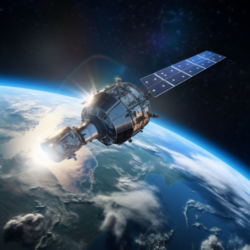
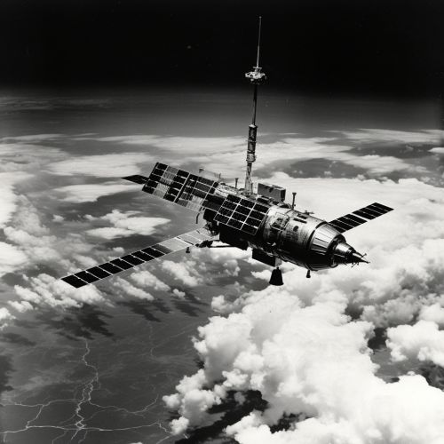
The launch of the first weather satellite, TIROS-1, by NASA in 1960 marked the beginning of the satellite era. This was followed by the launch of the first Landsat satellite in 1972, which initiated a continuous record of Earth's land surfaces that continues to this day. The European Space Agency's (ESA) remote sensing satellite, ERS-1, launched in 1991, was another significant milestone in the history of Earth Observation.

Earth Observation Technologies
Earth Observation technologies primarily include satellites, aircraft, and drones, each with their unique capabilities and applications. These technologies utilize a variety of sensors to capture data about the Earth's systems.
Satellite Observation
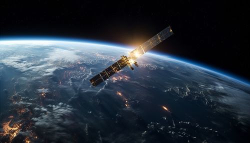
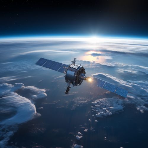
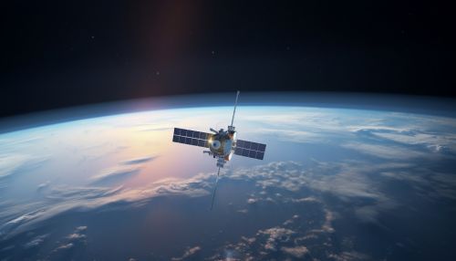
Satellite observation is the primary method of Earth Observation. Satellites equipped with remote sensing technologies orbit the Earth, capturing data and images that provide a global perspective. These satellites operate at different altitudes and have varying capabilities, depending on their sensors. They can be divided into two main types: geostationary and polar orbiting.
Geostationary satellites orbit at an altitude of approximately 36,000 kilometers above the Earth's equator and move at the same rotational speed as the Earth. This allows them to stay fixed over one location, making them ideal for weather monitoring and telecommunications.
Polar orbiting satellites, on the other hand, orbit at much lower altitudes, typically between 700 and 800 kilometers. They travel from pole to pole as the Earth rotates beneath them, providing global coverage and making them ideal for climate and environmental monitoring.
Aircraft Observation
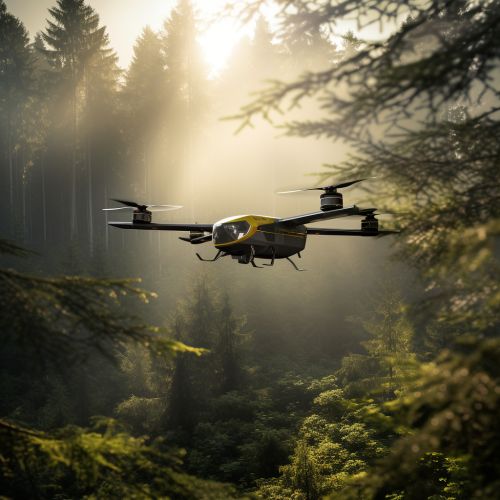
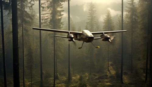
Aircraft, including both manned and unmanned, provide a more localized perspective than satellites. They are equipped with various sensors, including high-resolution cameras, LiDAR (Light Detection and Ranging), and thermal imaging systems. Aircraft are often used for detailed surveys of specific areas, such as agricultural fields, forests, and coastal regions.
Drone Observation
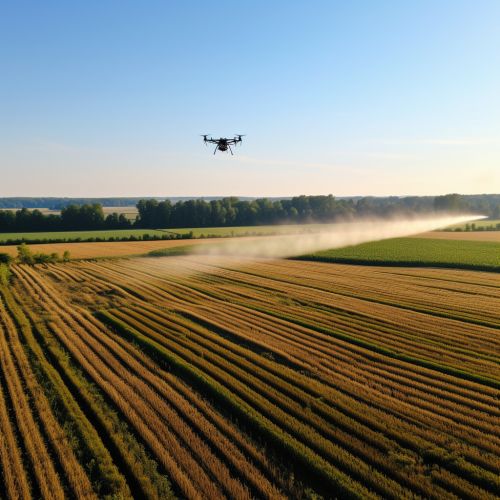
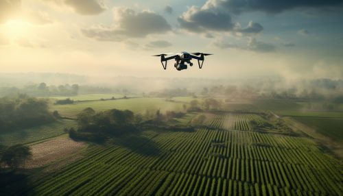
Drones, or Unmanned Aerial Vehicles (UAVs), are increasingly being used in Earth Observation for their ability to capture high-resolution data at relatively low cost. They can be equipped with a variety of sensors and are particularly useful for monitoring small, specific areas, such as construction sites, agricultural fields, and disaster-stricken areas.
Applications of Earth Observation
The data gathered from Earth Observation technologies have a wide range of applications across various sectors.
Weather Forecasting
One of the primary applications of Earth Observation is in weather forecasting. Satellites provide meteorologists with up-to-date information about atmospheric conditions, enabling them to predict weather patterns and events, such as storms, cyclones, and heatwaves.
Climate Change Monitoring
Earth Observation plays a crucial role in monitoring and understanding climate change. Satellites provide long-term, consistent data about the Earth's climate system, including sea-level rise, ice melt, and changes in vegetation.
Disaster Management
Earth Observation technologies are vital tools in disaster management. They provide real-time information about natural disasters, such as hurricanes, earthquakes, and wildfires, enabling authorities to plan and execute relief efforts effectively.
Resource Management
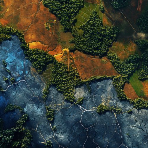
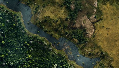
Earth Observation data is used in the management of natural resources, including water, forests, and fisheries. For example, satellite imagery can help monitor deforestation and forest health, supporting sustainable forest management practices.
Future of Earth Observation
The future of Earth Observation lies in the advancement of technology and the increasing demand for accurate, timely, and accessible data. The advent of CubeSats, small, low-cost satellites, has democratized access to space, allowing more countries and organizations to launch their own Earth Observation missions. Additionally, advancements in data processing and analysis, driven by Artificial Intelligence and Machine Learning, are enabling us to extract more value from Earth Observation data.
See Also
- Remote Sensing
- Geographic Information System
- Climate Change
- Natural Disaster Management
- Resource Management
