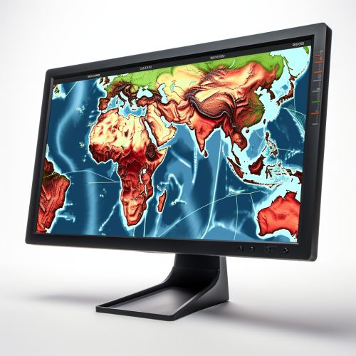
Geohazards and Geographical Information Systems
Introduction
Geohazards are geological and environmental conditions and processes that may lead to widespread damage or risk to human life and infrastructure. These include, but are not limited to, earthquakes, landslides, volcanic eruptions, floods, and tsunamis. The study and mitigation of geohazards is a critical aspect of environmental science and civil engineering.
Geographical Information Systems (GIS) are computer-based tools used to store, visualize, analyze, and interpret geographic data. These systems are used extensively in geohazard assessment and management, offering a powerful tool for spatial analysis and modeling, hazard mapping, and decision-making processes.


Geohazards
Geohazards are natural geological phenomena that can cause loss of life, injury, or property damage. They are typically caused by geological processes such as tectonic movements, volcanic activity, landslides, and flooding. The impact of these events can be localized or widespread, and their frequency and intensity can vary greatly.
Types of Geohazards
There are several types of geohazards, each with unique characteristics and impacts. These include:
- Earthquakes: These occur when there is a sudden release of energy in the Earth's crust, creating seismic waves that cause the ground to shake. Earthquakes can result in significant damage to buildings and infrastructure, and can trigger other geohazards such as landslides and tsunamis.
- Volcanic eruptions: These occur when there is a release of magma, gas, and other materials from beneath the Earth's surface. Volcanic eruptions can cause widespread damage and loss of life, particularly in populated areas.
- Landslides: These occur when soil, rock, and other materials move down a slope due to gravity. Landslides can be triggered by a variety of factors, including heavy rain, earthquakes, and human activity.
- Floods: These occur when there is an overflow of water onto normally dry land. Floods can result from heavy rainfall, melting snow, or dam failure, and can cause significant damage to homes, infrastructure, and the environment.
- Tsunamis: These are large ocean waves caused by underwater earthquakes, volcanic eruptions, or landslides. Tsunamis can cause widespread destruction when they reach coastal areas.
Geographical Information Systems (GIS)
Geographical Information Systems (GIS) are computer-based tools that allow users to create interactive queries, analyze spatial information, and present the results of these operations in a graphical form, often in the form of a map. GIS technology can be used for a wide range of applications, from managing utilities and monitoring the environment, to urban planning and crime analysis.
Components of a GIS
A GIS consists of several key components:
- Hardware: This includes the computer and peripherals used to run the GIS software and store the data.
- Software: This includes the GIS application software, which provides the functions and tools needed to store, analyze, and display geographic information.
- Data: This is the information that the GIS uses. It can include a wide range of spatial data, such as maps, aerial photographs, and satellite images, as well as non-spatial data, such as population statistics.
- People: These are the individuals who use the GIS and make decisions based on the information it provides.
- Methods: These are the procedures and rules that guide the use of the GIS.
GIS in Geohazard Management
GIS technology plays a crucial role in geohazard management. It provides a platform for the integration, analysis, and visualization of geospatial data, enabling scientists and decision-makers to better understand and manage geohazards.
Hazard Mapping
One of the primary uses of GIS in geohazard management is hazard mapping. This involves the creation of maps that show the areas that are at risk from different types of geohazards. These maps can be used for a variety of purposes, including land-use planning, emergency preparedness, and risk communication.
Spatial Analysis and Modeling
GIS also provides a range of tools for spatial analysis and modeling. These tools can be used to analyze the spatial distribution of geohazards, identify areas at risk, and predict the potential impacts of future events. For example, GIS can be used to model the potential path of a landslide, or to analyze the distribution of earthquake epicenters to identify areas of high seismic risk.
Decision Support
GIS can also serve as a decision support tool, helping decision-makers to make informed choices about geohazard management. By providing a visual representation of geohazard risks and potential impacts, GIS can aid in the evaluation of different management strategies and the allocation of resources.
Conclusion
Geohazards pose a significant threat to human life and infrastructure. The use of Geographical Information Systems (GIS) in geohazard management offers a powerful tool for understanding and mitigating these risks. Through hazard mapping, spatial analysis, and decision support, GIS can help to reduce the impacts of geohazards and enhance our ability to live safely and sustainably on our dynamic planet.
