The Role of Geostatistics in Predicting Seismic Activities
Introduction
Geostatistics is a branch of statistics that deals with spatial or spatiotemporal datasets. It has been increasingly utilized in predicting seismic activities, providing valuable insights into the patterns and behaviors of earthquakes. This article explores the role of geostatistics in predicting seismic activities, detailing its methodologies, applications, and limitations.


Geostatistics: An Overview
Geostatistics originated from the mining and petroleum industry, where it was used to estimate reserves and production potential. Today, it has expanded to various fields, including environmental science, agriculture, fisheries, and geology, particularly in predicting seismic activities.
The fundamental principle of geostatistics is the concept of spatial correlation or spatial dependence, which assumes that things that are closer together are more likely to be similar than those farther apart. This principle is encapsulated in Tobler's first law of geography: "Everything is related to everything else, but near things are more related than distant things."


Geostatistical Methods in Seismic Prediction
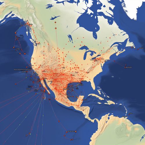
Geostatistical methods in seismic prediction involve the use of statistical models to analyze spatially correlated seismic data. These methods include kriging, spatial autocorrelation, variogram modeling, and spatial analysis.
Kriging
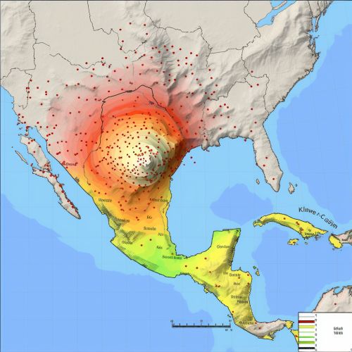
Kriging is a method of interpolation used to predict unknown values at specific locations based on known values from surrounding locations. In seismic prediction, kriging is used to estimate the magnitude and location of future seismic activities based on past data.
Spatial Autocorrelation
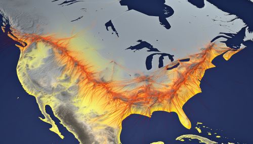
Spatial autocorrelation measures the degree of dependency among observations in a geographic space. It is used in seismic prediction to identify patterns and trends in seismic activities, which can help predict future events.
Variogram Modeling
Variogram modeling is a technique used to quantify spatial autocorrelation. It provides a graphical representation of the spatial continuity of seismic data, which can be used to predict the likelihood of future seismic activities.
Spatial Analysis
Spatial analysis involves the manipulation and examination of spatial data to discover and understand patterns and relationships. In seismic prediction, spatial analysis is used to identify areas of high seismic risk.
Applications of Geostatistics in Seismic Prediction
Geostatistics has been applied in various aspects of seismic prediction, including seismic hazard assessment, seismic risk assessment, and earthquake forecasting.
Seismic Hazard Assessment
In seismic hazard assessment, geostatistics is used to estimate the probability of seismic events occurring in a specific location within a certain time period. This is achieved by analyzing spatially correlated seismic data and using geostatistical methods to predict future events.
Seismic Risk Assessment
Seismic risk assessment involves the evaluation of potential losses due to seismic activities. Geostatistics plays a crucial role in this process by providing a statistical basis for estimating the likelihood and magnitude of future seismic events.
Earthquake Forecasting
In earthquake forecasting, geostatistics is used to predict the probability of an earthquake occurring in a specific location within a certain time period. This is achieved by analyzing spatially correlated seismic data and using geostatistical methods to predict future events.
Limitations of Geostatistics in Seismic Prediction
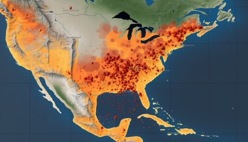
While geostatistics provides valuable insights into seismic prediction, it is not without limitations. These include the assumption of stationarity, the difficulty in handling large datasets, and the uncertainty associated with prediction.
Assumption of Stationarity
Geostatistical methods often assume stationarity, which means that the statistical properties of the data do not change over space or time. However, this assumption is rarely met in real-world seismic data, which can limit the accuracy of geostatistical predictions.
Handling Large Datasets
Geostatistical methods can be computationally intensive, making it challenging to handle large seismic datasets. This can limit the applicability of geostatistics in seismic prediction, particularly in areas with high seismic activity.
Uncertainty in Prediction
Despite the advanced techniques used in geostatistics, there is always a degree of uncertainty associated with seismic prediction. This is due to the inherent unpredictability of seismic activities and the limitations of current geostatistical methods.


Conclusion
Geostatistics plays a crucial role in predicting seismic activities, providing valuable insights into the patterns and behaviors of earthquakes. Despite its limitations, geostatistics remains a powerful tool in seismic prediction, contributing to our understanding of seismic activities and helping to mitigate the impacts of earthquakes.
