The Role of Geostatistics in Predicting Oil Deposits
Introduction
Geostatistics is a branch of statistics focusing on spatial or spatiotemporal datasets. Developed originally to predict probability distributions of ore grades for mining operations, it is currently applied in diverse disciplines including petroleum geology, hydrogeology, hydrology, meteorology, oceanography, geochemistry, geometallurgy, geography, forestry, environmental control, landscape ecology, soil science, and agriculture (crop yield estimation).


Role of Geostatistics in Predicting Oil Deposits
Geostatistics plays a crucial role in predicting oil deposits by providing a mathematical foundation for the spatial analysis of geological phenomena. It offers a variety of statistical tools for analyzing and interpreting geological data, and for predicting the locations of potential oil deposits.
Data Collection and Analysis
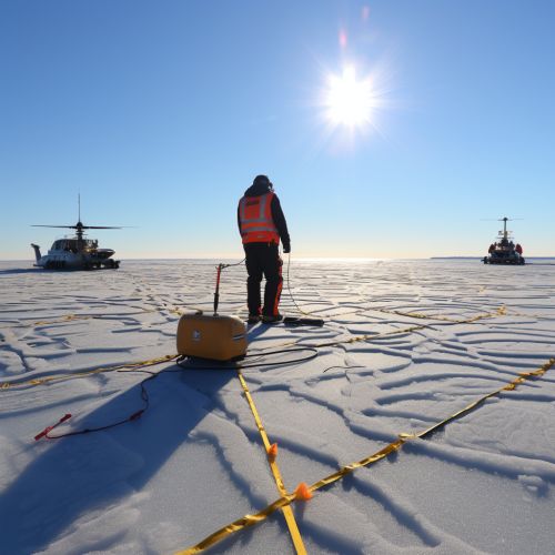
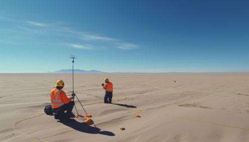
The first step in predicting oil deposits using geostatistics involves the collection and analysis of geological data. This data is often gathered through seismic surveys, well logging, and other geological exploration techniques. The data collected includes information about the geological structures and properties of the earth's subsurface, such as the presence of hydrocarbons, the porosity and permeability of the rock, and the pressure and temperature conditions.


Once the data is collected, geostatistical techniques are used to analyze and interpret the data. This includes the use of statistical methods to identify patterns and trends in the data, and to make predictions about the locations of potential oil deposits.
Variogram Modeling
One of the key tools in geostatistics is the variogram, a function that describes the degree of spatial dependence of a spatial random field or stochastic process. In the context of oil exploration, variogram modeling can be used to analyze the spatial continuity of geological attributes, which can provide valuable insights into the distribution of oil deposits.


Kriging
Kriging is a method of interpolation for which the interpolated values are modeled by a Gaussian process governed by prior covariances. In the context of oil exploration, Kriging can be used to estimate the value of a geological attribute at unsampled locations, based on the values of the attribute at sampled locations. This can be particularly useful in predicting the locations of oil deposits.


Advantages of Using Geostatistics in Predicting Oil Deposits
There are several advantages to using geostatistics in predicting oil deposits. These include:
- The ability to handle large datasets: Geostatistical techniques can handle large amounts of data, making them ideal for analyzing the vast amounts of geological data collected during oil exploration.
- The ability to make accurate predictions: Geostatistical techniques can make accurate predictions about the locations of oil deposits, based on the analysis of geological data.
- The ability to quantify uncertainty: Geostatistical techniques can quantify the uncertainty associated with predictions, which can be useful in decision-making processes.
Limitations of Using Geostatistics in Predicting Oil Deposits
Despite its advantages, there are also some limitations to using geostatistics in predicting oil deposits. These include:
- The need for expert knowledge: Geostatistical techniques require a high level of expertise to use effectively. This can be a barrier to their use, particularly in smaller companies or in countries with less developed oil industries.
- The reliance on assumptions: Geostatistical techniques often rely on assumptions about the spatial continuity of geological attributes. If these assumptions are not met, the predictions made by these techniques may be inaccurate.
- The difficulty in validating predictions: It can be difficult to validate the predictions made by geostatistical techniques, as this often requires drilling wells to confirm the presence of oil. This can be expensive and time-consuming.


Conclusion
Geostatistics plays a crucial role in predicting oil deposits, providing a mathematical foundation for the spatial analysis of geological phenomena. Despite some limitations, the use of geostatistical techniques can greatly enhance the accuracy and efficiency of oil exploration efforts.
