Seismic survey
Introduction
A seismic survey is a method of subsurface exploration that employs the principles of seismology to map the subsurface structures of the Earth. It is one of the most commonly used methods in the petroleum industry for locating oil and gas reserves. The technique is also used in other fields such as geotechnical engineering, archaeology, and geology for various purposes including the study of Earth's crust and mantle, fault studies, and site investigations for engineering projects[1].


Seismic Waves
Seismic surveys work on the principle of seismic waves. These are waves of energy that travel through the Earth's layers and are recorded by seismographs located at the surface. Seismic waves are generated by various sources such as earthquakes, volcanic eruptions, and man-made sources like explosions or vibroseis trucks in seismic surveys[2].


Types of Seismic Surveys
There are two main types of seismic surveys: reflection and refraction.
Reflection Seismic Surveys
In reflection seismic surveys, the seismic waves are reflected back to the surface by the various subsurface layers. The time it takes for the waves to return is recorded, and this data is used to create a detailed map of the subsurface structures. This method is commonly used in the petroleum industry to locate oil and gas reserves[3].


Refraction Seismic Surveys
In refraction seismic surveys, the seismic waves are refracted, or bent, as they pass through different layers of the Earth. The refracted waves are then recorded at the surface. This method is used to determine the depth and thickness of subsurface layers, and is often used in geotechnical engineering and groundwater studies[4].


Seismic Data Acquisition
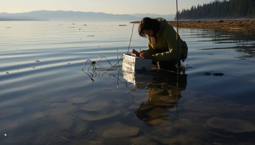
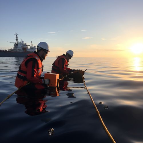
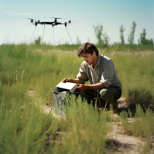
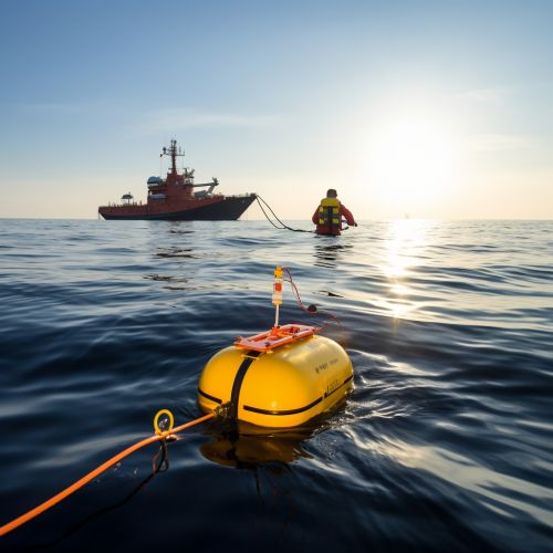
The process of seismic data acquisition involves generating seismic waves, recording the waves that return to the surface, and then processing this data to create a detailed image of the subsurface. This process involves the use of various equipment including geophones, hydrophones, seismic sources, and recording systems[5].
Seismic Data Processing
Once the seismic data has been acquired, it must be processed to remove noise and enhance the signal. This involves a series of steps including filtering, deconvolution, stacking, and migration. The end result is a detailed image of the subsurface that can be interpreted by geoscientists[6].
Applications of Seismic Surveys
Seismic surveys have a wide range of applications in various fields. In the petroleum industry, they are used to locate oil and gas reserves. In geotechnical engineering, they are used for site investigations and to study the mechanical properties of rocks and soils. In geology, they are used to study the Earth's crust and mantle, and to investigate faults and other geological structures[7].


Environmental Impact
While seismic surveys are a valuable tool for subsurface exploration, they can also have an impact on the environment. This includes potential harm to marine life from underwater surveys, and the disturbance of land and ecosystems from land-based surveys. Efforts are being made to minimize these impacts through the use of less invasive methods and stricter regulations[8].

See Also
- Geophysics
- Seismology
- Reflection Seismology
- Seismic Refraction
- Petroleum Geology
- Geotechnical Engineering
References
- ↑ Kearey, P., Brooks, M., & Hill, I. (2002). An Introduction to Geophysical Exploration. Blackwell Science Ltd.
- ↑ Lowrie, W. (2007). Fundamentals of Geophysics. Cambridge University Press.
- ↑ Yilmaz, Ö. (2001). Seismic Data Analysis: Processing, Inversion, and Interpretation of Seismic Data. Society of Exploration Geophysicists.
- ↑ Shearer, P. (2009). Introduction to Seismology. Cambridge University Press.
- ↑ Hardage, B. A. (2006). Vertical Seismic Profiling: Principles. Society of Exploration Geophysicists.
- ↑ Yilmaz, Ö. (2001). Seismic Data Analysis: Processing, Inversion, and Interpretation of Seismic Data. Society of Exploration Geophysicists.
- ↑ Kearey, P., Brooks, M., & Hill, I. (2002). An Introduction to Geophysical Exploration. Blackwell Science Ltd.
- ↑ Gordon, J., Gillespie, D., Potter, J., Frantzis, A., Simmonds, M. P., Swift, R., & Thompson, D. (2003). A review of the effects of seismic surveys on marine mammals. Marine Technology Society Journal, 37(4), 16-34.
