The Role of Geostatistics in Predicting Geological Hazards
Introduction
Geostatistics is a branch of statistics focused on spatial or spatiotemporal datasets. Developed originally to predict probability distributions of ore grades for mining operations, it is currently applied in diverse disciplines including petroleum geology, hydrogeology, hydrology, meteorology, oceanography, geochemistry, geometallurgy, geography, forestry, environmental control, landscape ecology, soil science, and agriculture (agronomy, animal science, plant science).


Role in Predicting Geological Hazards
Geostatistics plays a crucial role in predicting geological hazards. It provides a statistical approach to the spatial analysis of geological variables, which can be used to predict the likelihood and impact of geological hazards such as earthquakes, landslides, and volcanic eruptions. The predictive power of geostatistics comes from its ability to model spatial relationships and to use these models to estimate values at unsampled locations.
Earthquakes
In the context of earthquake prediction, geostatistics can be used to analyze seismic data and to generate probabilistic seismic hazard assessments. This involves the use of statistical techniques to model the spatial distribution of seismic activity and to estimate the probability of future earthquake occurrences. Geostatistical models can also be used to estimate the likely magnitude and impact of future earthquakes, based on the spatial distribution of past seismic events.


Landslides
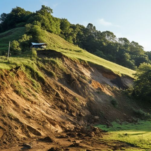
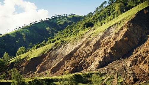
In landslide prediction, geostatistics can be used to analyze the spatial distribution of factors that contribute to landslide occurrence, such as slope, soil type, and rainfall. By modeling the spatial relationships between these factors, geostatistics can help to predict the likelihood of future landslide events. Geostatistical models can also be used to estimate the potential impact of landslides, based on the spatial distribution of vulnerable areas.


Volcanic Eruptions
In the prediction of volcanic eruptions, geostatistics can be used to analyze the spatial distribution of volcanic activity and to generate probabilistic volcanic hazard assessments. This involves the use of statistical techniques to model the spatial distribution of volcanic activity and to estimate the probability of future volcanic eruptions. Geostatistical models can also be used to estimate the likely impact of future eruptions, based on the spatial distribution of past volcanic events.


Methodologies in Geostatistics
Geostatistics employs several methodologies to analyze and predict geological hazards. These include variogram modeling, kriging, and probabilistic modeling.
Variogram Modeling
The variogram is a fundamental tool in geostatistics, used to quantify the spatial autocorrelation of a variable. In the context of geological hazard prediction, variogram models can be used to analyze the spatial distribution of hazard-related variables and to estimate their values at unsampled locations.
Kriging
Kriging is a geostatistical interpolation technique that uses the variogram model to estimate values at unsampled locations. In geological hazard prediction, kriging can be used to generate spatial predictions of hazard-related variables, such as seismic activity or landslide susceptibility.
Probabilistic Modeling
Probabilistic modeling is a statistical approach that deals with the uncertainty inherent in geological hazard prediction. It involves the use of probability distributions to represent the uncertainty in the values of hazard-related variables, and to generate probabilistic predictions of geological hazards.
Conclusion
Geostatistics plays a crucial role in predicting geological hazards. By providing a statistical approach to the spatial analysis of geological variables, it enables the prediction of the likelihood and impact of geological hazards such as earthquakes, landslides, and volcanic eruptions. The methodologies used in geostatistics, including variogram modeling, kriging, and probabilistic modeling, provide powerful tools for the analysis and prediction of geological hazards.
