The Role of Geostatistics in Predicting Climate Change
Introduction
Geostatistics is a branch of statistics that deals with spatial or spatiotemporal datasets. Developed originally for the field of geology, geostatistics is now used in a variety of disciplines, including climatology, where it plays a crucial role in predicting climate change. This article explores the role of geostatistics in predicting climate change, detailing the methods used, the challenges faced, and the implications of these predictions.
Geostatistics: An Overview
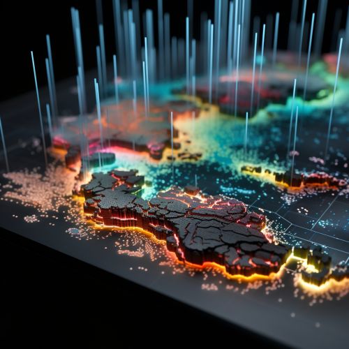
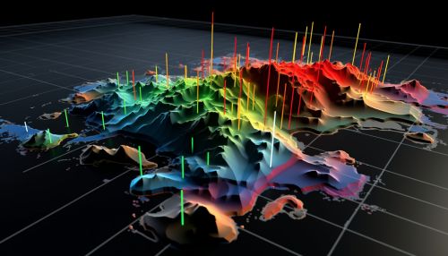
Geostatistics involves the collection, analysis, and interpretation of data relating to phenomena that change over space and time. It employs statistical methodologies such as spatial analysis, kriging, and variogram modeling to interpret spatial continuity and predict values at unobserved locations.
Role in Climate Change Prediction
In the context of climate change, geostatistics provides a framework for analyzing and interpreting spatially distributed climate variables such as temperature, precipitation, and wind speed. These variables are critical in the development of climate models, which are used to predict future climate scenarios.


Data Collection
The first step in the geostatistical approach to climate change prediction is data collection. Climate data is typically collected from a variety of sources, including weather stations, satellites, and climate proxies such as tree rings and ice cores. This data is then used to create a spatial dataset that can be analyzed using geostatistical methods.
Spatial Analysis
Spatial analysis is a key component of geostatistics. It involves the study of spatial patterns and structures, and is used to identify and understand the spatial variability of climate variables. This understanding is crucial for predicting how these variables might change in the future.
Kriging
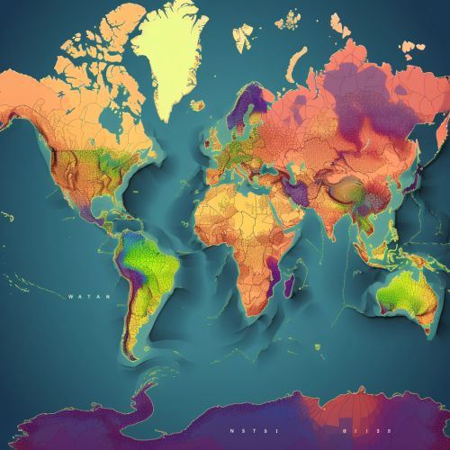
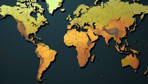
Kriging is a geostatistical technique used to interpolate, or predict, values at unobserved locations based on observed data. In the context of climate change, kriging can be used to predict future climate variables at specific locations. This can be particularly useful in areas where climate data is sparse or unavailable.
Variogram Modeling
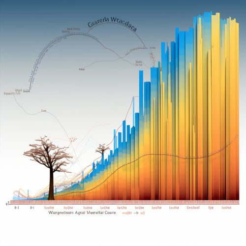
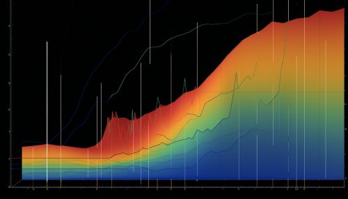
Variogram modeling is another important geostatistical method used in climate change prediction. A variogram is a graphical representation of the spatial autocorrelation of a variable. In other words, it shows how similar or dissimilar values are at different locations. Variogram modeling can help identify trends and patterns in climate data, which can then be used to make predictions about future climate change.
Challenges and Limitations
While geostatistics provides a powerful tool for predicting climate change, it is not without its challenges and limitations. These include the quality and availability of climate data, the complexity of climate systems, and the inherent uncertainty in climate predictions.


Implications of Predictions
The predictions made using geostatistical methods have significant implications for our understanding of climate change and our ability to respond to it. They can inform policy decisions, guide climate change mitigation and adaptation strategies, and help us understand the potential impacts of climate change on various aspects of society, including agriculture, water resources, and human health.


Conclusion
Geostatistics plays a vital role in predicting climate change. By providing a framework for analyzing and interpreting spatially distributed climate data, it allows us to make informed predictions about future climate scenarios. These predictions are crucial for understanding the potential impacts of climate change and for guiding our responses to it.
