The Role of Geoinformatics in Wildlife Conservation
Introduction
Geoinformatics, a discipline that combines geosciences and informatics, plays a crucial role in wildlife conservation. It involves the use and application of Geographic Information Systems (GIS), remote sensing, and Global Positioning System (GPS) technologies to collect, analyze, and interpret data related to the earth's surface. This data is then used to understand and address various environmental and ecological issues, including wildlife conservation.


Geoinformatics and Wildlife Conservation
The application of geoinformatics in wildlife conservation is multifaceted. It aids in the collection and analysis of spatial data, which is crucial for understanding animal behavior, habitat use, and population dynamics. This information is then used to develop and implement effective conservation strategies.
Habitat Mapping
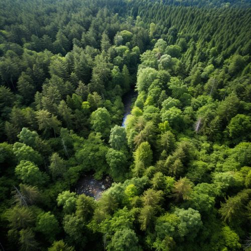
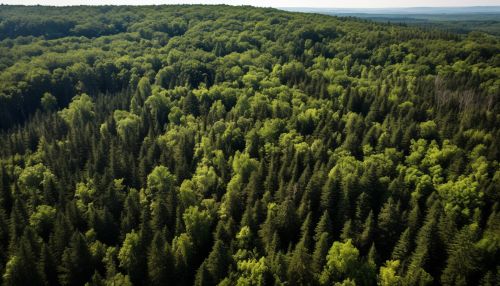
One of the primary uses of geoinformatics in wildlife conservation is habitat mapping. Using remote sensing and GIS technologies, conservationists can map and monitor changes in wildlife habitats over time. This allows for the identification of critical habitats, detection of habitat loss or degradation, and the assessment of the impacts of such changes on wildlife populations.


Population Monitoring
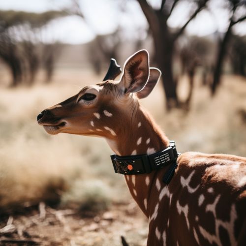
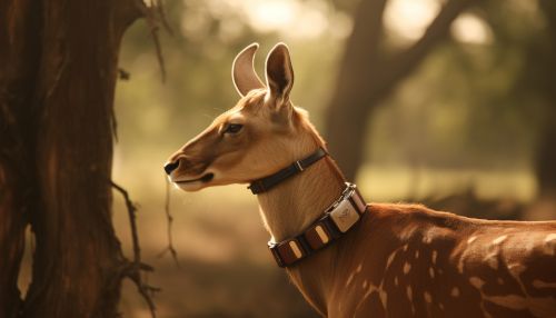
Geoinformatics also plays a crucial role in wildlife population monitoring. By tracking animal movements using GPS collars, conservationists can gain insights into animal behavior, migration patterns, and population dynamics. This information is vital for assessing the health of wildlife populations and for making informed conservation decisions.


Conservation Planning
Geoinformatics is instrumental in conservation planning. By integrating spatial data with other relevant information, such as species distribution, habitat suitability, and human impacts, conservationists can identify priority areas for conservation and develop effective management plans.


Challenges and Future Directions
While geoinformatics has significantly contributed to wildlife conservation, it also presents several challenges. These include the high cost of geoinformatics technologies, the need for specialized skills to use these technologies, and issues related to data privacy and security. Additionally, the effectiveness of geoinformatics in wildlife conservation is often limited by the quality and availability of spatial data.
Despite these challenges, the future of geoinformatics in wildlife conservation looks promising. With advancements in technology and increasing recognition of the importance of wildlife conservation, the use of geoinformatics in this field is likely to increase. Future directions may include the development of more sophisticated geoinformatics tools and techniques, the integration of geoinformatics with other disciplines, and the use of geoinformatics in community-based conservation efforts.


