The Role of Geoinformatics in Urban Green Space Management
Introduction
Geoinformatics, often referred to as geospatial informatics, is the science and technology of gathering, analyzing, interpreting, distributing, and using geographic information. This discipline plays a crucial role in urban green space management, a field dedicated to the planning, creation, and upkeep of urban green spaces. These spaces, which include parks, gardens, and other vegetated areas within cities, are essential for the well-being of urban populations and the sustainability of urban environments.


Role of Geoinformatics in Urban Green Space Management
Geoinformatics provides a range of tools and techniques that are invaluable in the management of urban green spaces. These tools allow for the collection and analysis of data related to these spaces, enabling more informed decision-making and more effective management strategies.
Data Collection
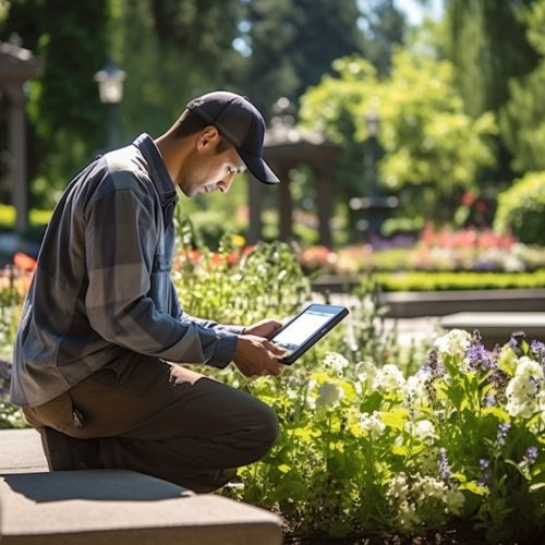
One of the primary roles of geoinformatics in urban green space management is data collection. This involves the use of various geospatial technologies, such as GIS, remote sensing, and GPS, to gather information about urban green spaces. This data can include the location, size, and type of green spaces, as well as information about the vegetation, wildlife, and other features present in these spaces.


Data Analysis
Once data has been collected, geoinformatics tools can be used to analyze this information. This can involve mapping the distribution of green spaces within a city, assessing the health and diversity of vegetation, identifying areas of high biodiversity, and determining the accessibility of green spaces to urban populations. This analysis can provide valuable insights into the current state of urban green spaces and can help to identify areas where improvements or interventions may be needed.


Planning and Decision-Making
The data and insights provided by geoinformatics can play a crucial role in the planning and decision-making processes in urban green space management. For example, GIS can be used to create detailed maps and models of urban green spaces, which can be used to guide the design and development of these spaces. Similarly, remote sensing data can be used to monitor changes in green spaces over time, allowing for the evaluation of management strategies and the identification of emerging issues or trends.


Benefits of Using Geoinformatics in Urban Green Space Management
The use of geoinformatics in urban green space management offers a number of benefits. These include improved efficiency and effectiveness in the management of these spaces, better decision-making, and enhanced ability to respond to changes and challenges.
Improved Efficiency and Effectiveness
Geoinformatics tools can greatly improve the efficiency and effectiveness of urban green space management. For example, GIS and remote sensing technologies can provide detailed, up-to-date information about green spaces, reducing the need for time-consuming and costly field surveys. Similarly, these tools can enable more accurate and precise planning and decision-making, leading to better outcomes for urban green spaces and their users.


Better Decision-Making
The data and insights provided by geoinformatics can support more informed decision-making in urban green space management. This can lead to better decisions about the design, development, and management of these spaces, which can in turn lead to improved environmental, social, and economic outcomes.


Enhanced Ability to Respond to Changes and Challenges
Geoinformatics can also enhance the ability of urban green space managers to respond to changes and challenges. For example, remote sensing data can be used to monitor changes in green spaces over time, allowing for early detection of issues such as disease outbreaks or habitat loss. Similarly, GIS can be used to model potential impacts of climate change on green spaces, enabling proactive planning and adaptation.


Conclusion
In conclusion, geoinformatics plays a vital role in urban green space management. Through the collection and analysis of geospatial data, these tools provide valuable insights that can guide the planning, development, and management of urban green spaces. As cities continue to grow and evolve, the use of geoinformatics in urban green space management will become increasingly important in ensuring the sustainability and livability of urban environments.
