The Role of Geoinformatics in Sustainable Urban Planning
Introduction
Geoinformatics, often also known as geospatial informatics, refers to the science and technology of gathering, analyzing, interpreting, distributing, and using geographic information. This field plays a crucial role in sustainable urban planning, a process that aims to shape the development of cities and towns in a way that minimizes environmental impact and promotes social and economic well-being. This article delves into the intricate relationship between geoinformatics and sustainable urban planning, exploring how the former supports the latter in achieving its goals.


Geoinformatics: An Overview
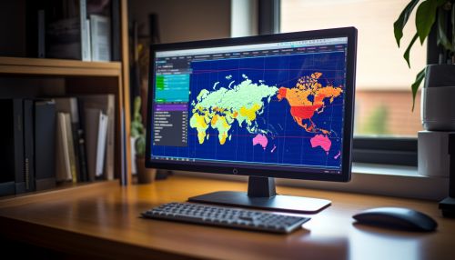
Geoinformatics is a multidisciplinary field that encompasses several sub-disciplines, including geographic information systems (GIS), remote sensing, and global positioning systems (GPS). It involves the collection, storage, processing, and presentation of geographic data or information. These data are often represented in the form of maps, which can be used to analyze spatial relationships and trends.
The field of geoinformatics has evolved significantly with advancements in technology. Today, it leverages sophisticated software and hardware systems, as well as data from satellites and other remote sensing devices, to gather and analyze geographic data. This has expanded the scope and utility of geoinformatics, making it an invaluable tool in various fields, including urban planning.


Sustainable Urban Planning: An Overview
Sustainable urban planning is a process that aims to shape the development of cities and towns in a way that minimizes environmental impact and promotes social and economic well-being. It involves the careful consideration of land use, transportation, housing, energy, and environmental factors. The goal is to create urban environments that are not only livable and vibrant but also sustainable in the long term.
Sustainable urban planning is guided by several key principles. These include the promotion of compact development, the integration of land use and transportation planning, the preservation of open spaces and natural environments, the promotion of energy efficiency and renewable energy, and the encouragement of community involvement in the planning process.


The Role of Geoinformatics in Sustainable Urban Planning
Geoinformatics plays a pivotal role in sustainable urban planning. It provides the tools and techniques necessary to collect, analyze, and interpret geographic data, which are crucial in the planning process. Here are some of the key ways in which geoinformatics supports sustainable urban planning:
Data Collection and Analysis
Geoinformatics provides a systematic approach to collecting and analyzing geographic data. This data can include information about land use, transportation networks, population density, and environmental conditions, among other things. By analyzing this data, urban planners can gain a better understanding of the current state of the urban environment and make informed decisions about future development.
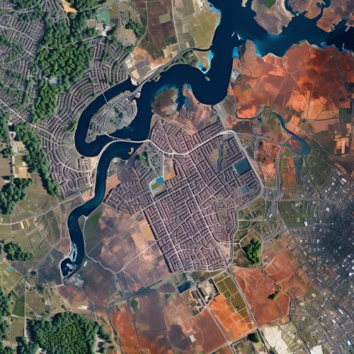
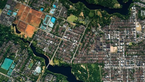
For example, GIS can be used to map existing land use patterns and identify areas that are suitable for development or conservation. Similarly, remote sensing technology can be used to monitor environmental conditions, such as air and water quality, which can inform decisions about where to locate new developments.


Spatial Planning and Design
Geoinformatics also plays a key role in the spatial planning and design aspect of sustainable urban planning. It allows planners to visualize and model different scenarios, helping them to assess the potential impacts of different development strategies.
For example, GIS can be used to create 3D models of proposed developments, allowing planners to assess their potential impact on the surrounding environment. This can be particularly useful in assessing the potential impact of new developments on things like sunlight access, wind patterns, and views.


Monitoring and Evaluation
Another important role of geoinformatics in sustainable urban planning is in the monitoring and evaluation of urban development. By regularly collecting and analyzing geographic data, planners can monitor changes in the urban environment over time and evaluate the effectiveness of their planning strategies.
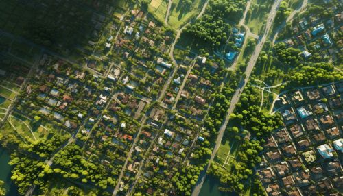
For example, remote sensing technology can be used to monitor changes in land use or vegetation cover over time. This can help planners to assess the impact of their planning decisions and make necessary adjustments.


Conclusion
In conclusion, geoinformatics plays a crucial role in sustainable urban planning. It provides the tools and techniques necessary to collect, analyze, and interpret geographic data, which are crucial in the planning process. By leveraging the power of geoinformatics, urban planners can make more informed decisions, design more sustainable urban environments, and monitor the effectiveness of their planning strategies.
