The Role of Geoinformatics in Predicting Wildfire Risk
Introduction
Geoinformatics, a discipline that uses geographic information system (GIS) technology to collect, analyze, and visualize geographic data, plays a crucial role in predicting wildfire risk. This field combines geospatial analysis and modeling techniques with computer science to study problems related to geography, geosciences, and other related branches of engineering and science. In the context of wildfire risk prediction, geoinformatics provides valuable insights into the factors that contribute to wildfire occurrence and spread, enabling better planning, prevention, and response strategies.
Geoinformatics and Its Relevance to Wildfire Risk Prediction
Geoinformatics is a multidisciplinary field that encompasses various techniques and tools, including remote sensing, GIS, and GPS. These technologies have been instrumental in wildfire risk prediction due to their ability to collect, analyze, and visualize vast amounts of geographic data.
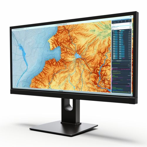

Remote sensing, for instance, involves the use of satellites or aircraft to collect information about the Earth's surface. This technology provides critical data on vegetation type, moisture content, and other environmental factors that influence wildfire risk. GIS, on the other hand, is a tool that allows for the storage, analysis, and visualization of geographic data. It enables researchers and decision-makers to overlay multiple data layers, such as topography, land use, and climate, to create comprehensive maps that highlight areas at high risk of wildfires.
Factors Influencing Wildfire Risk
Several factors influence wildfire risk, and geoinformatics helps in understanding and quantifying these factors. These include:
- Vegetation: Vegetation type and density are significant determinants of wildfire risk. Certain types of vegetation, particularly those that are dry or highly flammable, can increase the likelihood of a wildfire. Remote sensing technology can map vegetation types and densities across large areas, providing valuable data for wildfire risk prediction.
- Topography: The physical features of the land, including slope, aspect, and elevation, can influence how wildfires spread. For example, fires tend to spread more quickly uphill due to the preheating of vegetation ahead of the fire by the rising hot air. GIS can analyze and visualize topographic data, helping to identify areas at high risk of wildfires.
- Climate and Weather: Weather conditions, such as temperature, humidity, wind speed, and precipitation, can significantly influence wildfire risk. Long-term climate trends can also impact wildfire risk by affecting vegetation growth and moisture levels. Geoinformatics tools can analyze and model weather and climate data, aiding in the prediction of wildfire risk.

Geoinformatics in Wildfire Risk Modeling
Geoinformatics plays a crucial role in wildfire risk modeling, a process that involves predicting the likelihood of a wildfire occurring in a specific area based on various factors. GIS and remote sensing technologies enable the collection and analysis of large amounts of data related to these factors, which can then be integrated into predictive models.
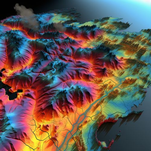
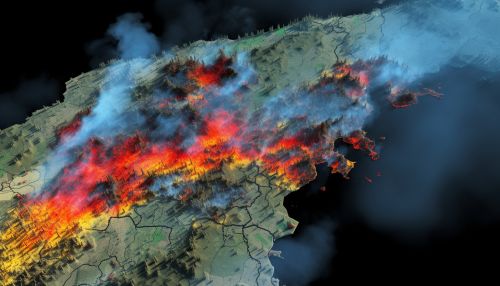
These models typically involve the use of statistical or machine learning algorithms to analyze patterns in the data and make predictions about future wildfire risk. For example, a model might use data on vegetation type, topography, and climate to predict the likelihood of a wildfire occurring in a specific area. The output of these models can be visualized using GIS, providing a clear and intuitive representation of wildfire risk.
Applications of Geoinformatics in Wildfire Management
The insights gained from geoinformatics can inform various aspects of wildfire management, including prevention, planning, and response.
- Prevention: By identifying areas at high risk of wildfires, geoinformatics can inform efforts to reduce this risk. This might involve clearing vegetation, implementing controlled burns, or enforcing building codes in high-risk areas.
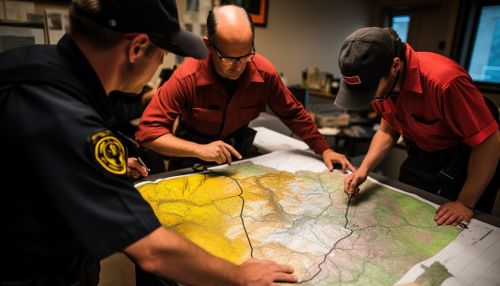
- Planning: Geoinformatics can aid in the development of wildfire management plans. These plans might involve strategies for evacuating residents, protecting infrastructure, or allocating firefighting resources in the event of a wildfire.
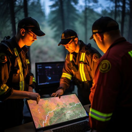
- Response: During a wildfire, geoinformatics can provide real-time data on the fire's location, direction of spread, and intensity. This information can inform firefighting strategies and help to protect lives and property.
Challenges and Future Directions
While geoinformatics has significantly improved our ability to predict and manage wildfires, several challenges remain. These include the need for more accurate and timely data, the complexity of wildfire behavior, and the impact of climate change on wildfire risk.
Future research in this field may focus on developing more sophisticated models that can account for these challenges. This might involve integrating more diverse data sources, developing more advanced algorithms, or exploring the use of emerging technologies such as artificial intelligence and big data.
