The Role of Geoinformatics in Predicting Urban Sprawl
Introduction
Geoinformatics, a discipline that uses information science infrastructure to address the problems of geography, geosciences and related branches of engineering, has been increasingly utilized in the prediction and analysis of Urban Sprawl. Urban sprawl, a complex process involving the spreading out of a city and its suburbs over rural land at the periphery of an urban area, presents numerous challenges to sustainable development. This article delves into the role of geoinformatics in predicting and managing urban sprawl.


Geoinformatics: An Overview
Geoinformatics is a science which integrates geospatial technologies and spatial data to provide solutions to real-world problems. It involves the collection, analysis, interpretation, distribution and use of geographic information. Geoinformatics combines geospatial analysis and modeling, development of geospatial databases, information systems design, human-computer interaction and both wired and wireless networking technologies.
Urban Sprawl: Understanding the Phenomenon
Urban sprawl is a multifaceted concept, which includes the spreading outwards of a city and its suburbs to its outskirts to low-density and auto-dependent development on rural land. Urban sprawl begins with slow migration of people into an area, which gradually becomes highly populated, resulting in the spreading of the city boundaries. This phenomenon is closely linked with the concept of Urbanization.


The Intersection of Geoinformatics and Urban Sprawl
Geoinformatics has emerged as a powerful tool for the prediction and management of urban sprawl. The use of geospatial technologies such as Geographic Information Systems (GIS) and Remote Sensing allows for the collection and analysis of geospatial data, which can be used to model and predict future urban growth patterns.
Geographic Information Systems
GIS is a tool that captures, stores, checks, integrates, manipulates, analyzes and displays data related to positions on the Earth's surface. In the context of urban sprawl, GIS can be used to analyze the spatial and temporal patterns of urban growth, providing valuable insights into the process of urbanization.


Remote Sensing
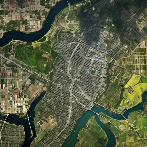
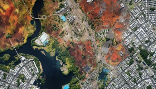
Remote sensing is the process of detecting and monitoring the physical characteristics of an area by measuring its reflected and emitted radiation at a distance from the targeted area. Remote sensing technologies, such as satellite imagery, can provide detailed and up-to-date information about land use and land cover changes, which are key indicators of urban sprawl.


Predicting Urban Sprawl with Geoinformatics
Geoinformatics can be used to create predictive models of urban sprawl. These models can help planners and decision-makers understand the potential impacts of different development scenarios and make informed decisions about how to manage growth.
Data Collection and Analysis
The first step in predicting urban sprawl using geoinformatics is the collection and analysis of geospatial data. This can include data on land use, population density, transportation networks, and other factors that influence urban growth. This data is then analyzed using GIS and remote sensing technologies to identify patterns and trends.
Modeling and Prediction
Once the data has been collected and analyzed, it can be used to create predictive models of urban growth. These models can simulate different scenarios based on various factors, such as changes in population, economic growth, and land use policies. By comparing these scenarios, planners and decision-makers can assess the potential impacts of different development strategies and choose the one that best meets their goals and objectives.


Conclusion
Geoinformatics plays a crucial role in predicting and managing urban sprawl. By providing a means to collect, analyze, and interpret geospatial data, geoinformatics allows for the prediction of urban growth patterns and the assessment of the potential impacts of different development strategies. This information is invaluable for planners and decision-makers, who can use it to make informed decisions about how to manage urban growth in a sustainable way.
