The Role of Geoinformatics in Predicting Sea Level Rise
Introduction
Geoinformatics, a field that combines geosciences and computer science, plays a crucial role in predicting sea level rise. This discipline uses Geographic Information Systems (GIS) and remote sensing technologies to collect, analyze, and visualize geographic data. The application of geoinformatics in predicting sea level rise is a critical aspect of climate change research and coastal management.


Geoinformatics: An Overview
Geoinformatics is a multidisciplinary field that integrates geosciences, computer science, and information technology. It uses various tools and techniques, including GIS, remote sensing, and Global Positioning Systems (GPS), to collect, process, analyze, and visualize geographic data. This data is then used in various applications, ranging from urban planning and transportation to environmental management and climate change research.


Predicting Sea Level Rise
Sea level rise is one of the most significant consequences of climate change. It is caused by the thermal expansion of seawater due to global warming and the melting of glaciers and ice sheets. Predicting sea level rise is crucial for coastal management, urban planning, and climate change mitigation strategies. It involves the use of various tools and techniques, including geoinformatics, to analyze and model future scenarios.


Role of Geoinformatics in Predicting Sea Level Rise
Geoinformatics plays a significant role in predicting sea level rise. It provides the tools and techniques necessary to collect, analyze, and visualize geographic data related to sea level rise. This includes data on land elevation, coastal topography, ocean temperatures, and ice sheet dynamics.
Data Collection
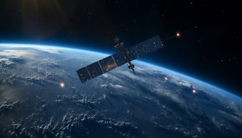
Geoinformatics tools, such as GIS and remote sensing, are used to collect a wide range of data relevant to sea level rise. This includes data on land elevation, coastal topography, ocean temperatures, and ice sheet dynamics. Remote sensing technologies, such as satellites and drones, are used to collect data over large areas and difficult-to-reach locations.


Data Analysis
Once the data is collected, geoinformatics tools are used to analyze it. This involves processing the data to remove any errors or inconsistencies, and then using statistical and spatial analysis techniques to identify patterns and trends. The analysis can provide insights into the factors contributing to sea level rise and their potential impacts.


Visualization
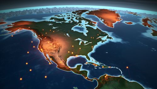
Geoinformatics also plays a crucial role in visualizing the data and the results of the analysis. GIS tools can create maps and other visual representations that make the data and the findings easier to understand. These visualizations can be used to communicate the risks and impacts of sea level rise to policymakers, planners, and the public.


Conclusion
The role of geoinformatics in predicting sea level rise is significant and multifaceted. It provides the tools and techniques necessary to collect, analyze, and visualize geographic data related to sea level rise. This data is crucial for predicting future scenarios, informing coastal management strategies, and mitigating the impacts of climate change.
