The Role of Geoinformatics in Predicting Population Growth
Introduction
Geoinformatics, a discipline that merges geospatial analysis and informatics, plays a pivotal role in predicting population growth. This field utilizes Geographic Information Systems (GIS) and other tools to collect, analyze, and interpret data related to geographical locations. It has become an essential tool in predicting population growth, a complex process influenced by various factors such as birth rates, death rates, migration, and urban development.


Understanding Geoinformatics
Geoinformatics is an interdisciplinary field that utilizes information technology to study problems that have a geographical or spatial aspect. It combines aspects of computer science, geography, statistics, and cartography to create tools and techniques for capturing, storing, processing, and visualizing geographical data.
Role in Predicting Population Growth
The use of geoinformatics in predicting population growth is multifaceted. It involves the use of spatial data and analytical tools to understand and predict changes in population dynamics.
Data Collection
The first step in predicting population growth using geoinformatics is data collection. This involves gathering data on various factors that influence population growth such as birth rates, death rates, and migration patterns. This data is often collected through census surveys, satellite imagery, and other sources.


Data Analysis
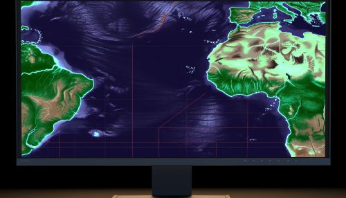
Once the data is collected, geoinformatics tools are used to analyze it. This involves using GIS and other software to create maps and other visual representations of the data. These visualizations can help researchers identify trends and patterns in population growth.
Prediction Models
After the data is analyzed, it is used to create prediction models. These models use algorithms to predict future population growth based on current trends. The models can be adjusted to account for various factors such as changes in birth rates, death rates, and migration patterns.


Applications of Geoinformatics in Population Growth Prediction
Geoinformatics has a wide range of applications in predicting population growth. These include urban planning, resource management, and public health.
Urban Planning
In urban planning, geoinformatics can be used to predict population growth in specific areas. This can help city planners make informed decisions about where to build new infrastructure such as roads, schools, and hospitals.
Resource Management
In resource management, geoinformatics can be used to predict future demand for resources such as water and electricity. This can help resource managers plan for future needs and avoid shortages.
Public Health
In public health, geoinformatics can be used to predict population growth in areas prone to diseases. This can help health officials plan for future outbreaks and ensure that adequate resources are available to deal with them.


Challenges in Using Geoinformatics for Population Growth Prediction
While geoinformatics offers many advantages in predicting population growth, it also presents several challenges. These include data accuracy, the complexity of prediction models, and the need for specialized skills.
Data Accuracy
One of the main challenges in using geoinformatics for population growth prediction is data accuracy. The accuracy of predictions depends on the quality of the data used. If the data is inaccurate or incomplete, the predictions may also be inaccurate.
Complexity of Prediction Models
Another challenge is the complexity of prediction models. Creating accurate prediction models requires a deep understanding of various factors that influence population growth. This can be difficult, especially when dealing with large datasets.
Need for Specialized Skills
Finally, using geoinformatics for population growth prediction requires specialized skills. This includes knowledge of GIS and other geoinformatics tools, as well as an understanding of statistics and data analysis.


Conclusion
Despite these challenges, geoinformatics remains a powerful tool for predicting population growth. With advances in technology and data collection methods, the accuracy and reliability of these predictions are likely to improve. As such, geoinformatics will continue to play a critical role in population studies and related fields.
