The Role of Geoinformatics in Predicting Deforestation Trends
Introduction
Geoinformatics, a discipline that uses GIS, remote sensing, and GPS to gather and analyze geographical data, plays a crucial role in predicting deforestation trends. By integrating various types of data, geoinformatics provides a comprehensive view of the spatial and temporal patterns of deforestation, allowing for more accurate predictions and more effective conservation strategies.
Geoinformatics and Its Components
Geoinformatics is a multidisciplinary field that combines aspects of computer science, geography, and information technology. Its primary components include GIS, remote sensing, and GPS, each of which contributes to the field's ability to collect, analyze, and visualize geographical data.
Geographic Information System
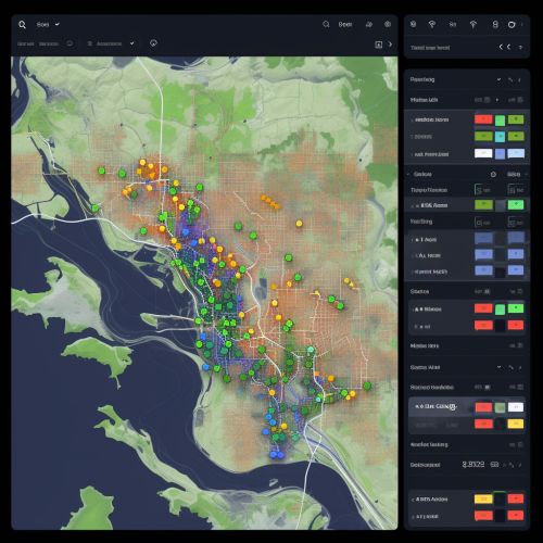
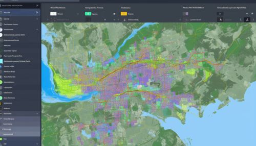
A GIS is a tool that captures, stores, manipulates, analyzes, manages, and presents all types of geographical data. It enables researchers to create interactive queries, analyze spatial information, and present the results of these operations in the form of maps, graphs, and charts.
Remote Sensing
Remote sensing involves acquiring information about an object or phenomenon without making physical contact with the object. In the context of geoinformatics, remote sensing usually refers to the use of satellite or aircraft-based sensor technologies to detect and classify objects on Earth.

Global Positioning System
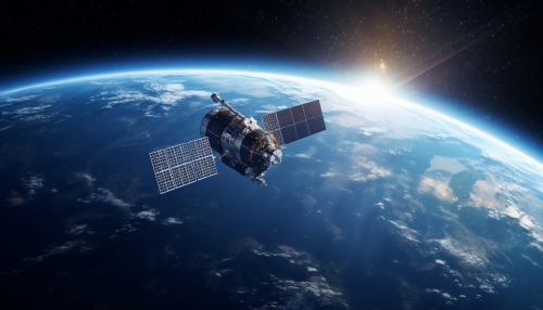
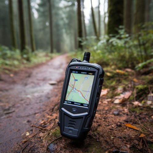
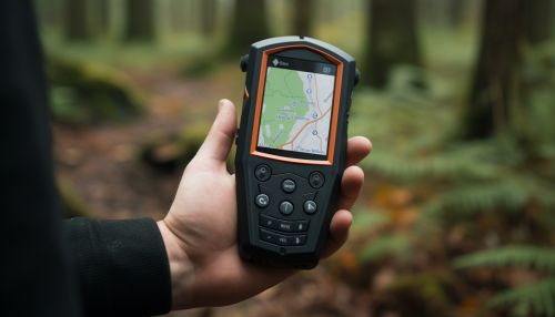
The GPS is a satellite-based navigation system that provides geolocation and time information to a GPS receiver anywhere on or near the Earth. In geoinformatics, GPS is used to accurately locate geographical features and track movements.
Role of Geoinformatics in Predicting Deforestation Trends
Geoinformatics plays a significant role in predicting deforestation trends by providing a means to monitor and analyze changes in forest cover over time. The integration of GIS, remote sensing, and GPS allows for the collection and analysis of large amounts of spatial data, which can be used to predict future deforestation trends and inform conservation efforts.
Monitoring Deforestation
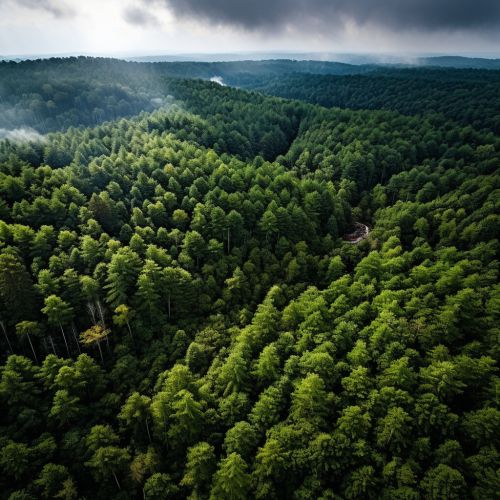
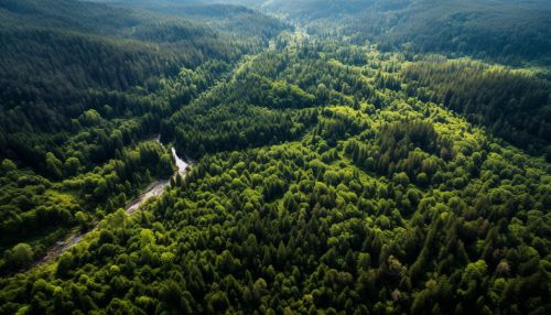
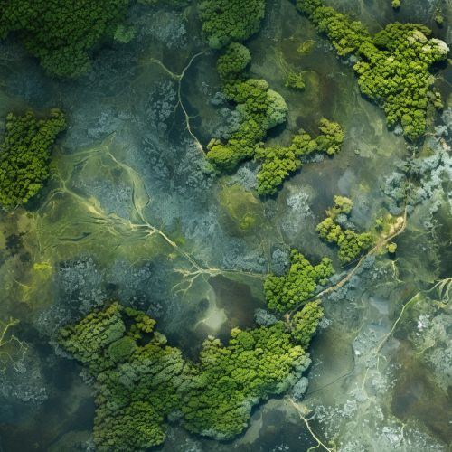
Through the use of remote sensing technology, geoinformatics allows for the continuous monitoring of forest cover changes. Satellite imagery can be used to detect areas of deforestation and track changes over time, providing valuable data for predicting future deforestation trends.
Analyzing Deforestation Patterns
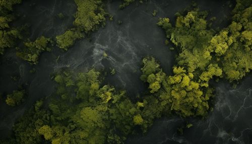
GIS is a powerful tool for analyzing deforestation patterns. By integrating various types of data, such as land use, population density, and climate data, GIS can help identify the drivers of deforestation and predict areas at risk.
Predicting Future Deforestation
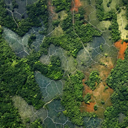
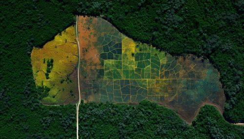
By combining the monitoring and analysis capabilities of remote sensing and GIS, geoinformatics can help predict future deforestation trends. These predictions can inform conservation strategies and policy decisions, contributing to more effective forest management and protection.

Conclusion
Geoinformatics, through its components of GIS, remote sensing, and GPS, provides a powerful tool for predicting deforestation trends. By enabling continuous monitoring and comprehensive analysis of forest cover changes, geoinformatics contributes to more accurate predictions and more effective conservation strategies. As deforestation continues to pose a significant threat to global biodiversity and climate stability, the role of geoinformatics in predicting and mitigating deforestation trends becomes increasingly important.
