The Role of Geoinformatics in Predicting Coral Bleaching
Introduction
Geoinformatics, a discipline that uses Geographic Information Systems (GIS) and remote sensing technologies, has emerged as a critical tool in predicting coral bleaching. This interdisciplinary field combines geospatial analysis and modeling techniques to understand and predict phenomena affecting the earth's surface. Coral bleaching, a significant environmental concern, is a process where corals lose their vibrant colors and turn white due to environmental stressors, primarily rising sea temperatures. This article delves into the role of geoinformatics in predicting coral bleaching, providing a comprehensive and detailed exploration of the topic.
Geoinformatics: An Overview
Geoinformatics is a field that uses data collection, analysis, and interpretation to understand geographical phenomena. It employs tools such as GIS, Global Positioning Systems (GPS), and remote sensing technologies. These tools enable scientists to collect, store, manipulate, and visualize geographic data, providing a platform for spatial analysis and modeling.
Coral Bleaching: Causes and Implications
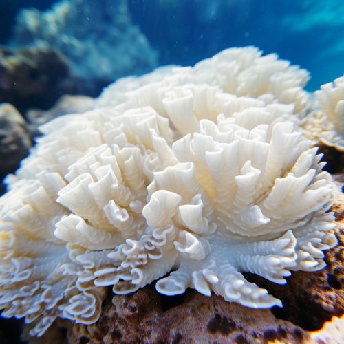
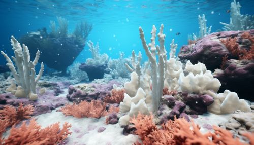
Coral bleaching is a stress response of corals, primarily caused by elevated sea temperatures. Other factors contributing to coral bleaching include changes in salinity, light, or nutrients. When corals are stressed, they expel the symbiotic zooxanthellae algae living in their tissues, causing them to turn white or 'bleach'. Bleached corals are not dead, but they are under more stress and are more susceptible to disease and mortality.

Geoinformatics in Coral Bleaching Prediction
Geoinformatics plays a crucial role in predicting coral bleaching events. By using GIS and remote sensing technologies, scientists can monitor sea surface temperatures, light intensity, and other environmental variables that contribute to coral bleaching. These data can then be used to create predictive models, providing early warnings of potential bleaching events.
Data Collection
The first step in predicting coral bleaching using geoinformatics is data collection. Remote sensing technologies, such as satellites and drones, are used to collect data on sea surface temperatures, light intensity, and other relevant environmental variables. This data is then input into GIS for further analysis.


Data Analysis
Once the data is collected, it is analyzed using GIS. This involves manipulating the data to highlight patterns and trends, such as increases in sea surface temperature or changes in light intensity. These patterns can then be used to identify areas at risk of coral bleaching.
Predictive Modeling
The final step in the process is predictive modeling. Using the patterns identified in the data analysis stage, scientists can create models that predict future bleaching events. These models can provide early warnings, allowing for proactive measures to mitigate the impact of bleaching.
Implications and Future Directions
The use of geoinformatics in predicting coral bleaching has significant implications for coral reef conservation. By providing early warnings of bleaching events, it allows for proactive measures to be taken to mitigate the impact of bleaching. Furthermore, the data collected and analyzed through geoinformatics can contribute to our understanding of coral bleaching and how it is influenced by environmental variables. Looking forward, advancements in geoinformatics technologies and techniques will continue to enhance our ability to predict and respond to coral bleaching events.
