The Role of Geoinformatics in Predicting Climate Change
Introduction
Geoinformatics, a discipline that uses Geographic Information Systems (GIS), Remote Sensing (RS), and Global Positioning System (GPS) to gather and analyze geographical data, plays a crucial role in predicting climate change. This field of study allows scientists to model, analyze, and predict climate patterns and their impacts on the environment and human societies.
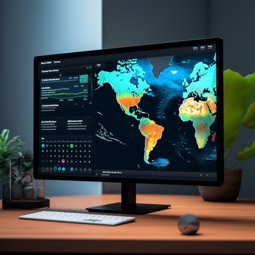
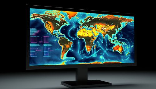
Geoinformatics and Climate Change Prediction
Geoinformatics provides a platform for the collection, storage, analysis, and visualization of spatial data, which is essential in climate change prediction. The use of GIS, RS, and GPS in climate change studies allows for the accurate prediction of climate patterns and the assessment of potential impacts on the environment and human societies.
Geographic Information Systems (GIS)
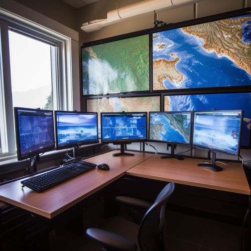
GIS is a system designed to capture, store, manipulate, analyze, manage, and present spatial or geographic data. It is a powerful tool in climate change studies as it allows for the visualization of climate data in a spatial context. This enables scientists to identify patterns and trends in climate data, which can be used to predict future climate scenarios.

Remote Sensing (RS)
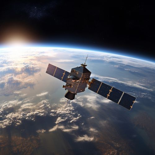
RS is the acquisition of information about an object or phenomenon without making physical contact with the object. In the context of climate change studies, RS is used to collect data on various climate parameters such as temperature, precipitation, and vegetation cover. This data is then analyzed using GIS to predict future climate scenarios.
Global Positioning System (GPS)
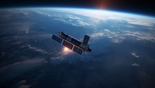
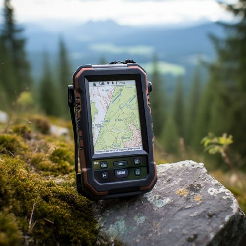
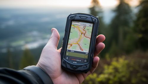
GPS is a satellite-based navigation system that provides location and time information in all weather conditions, anywhere on or near the Earth. In climate change studies, GPS is used to accurately locate the position of data collection points, which is crucial for the accuracy of climate models.
Applications of Geoinformatics in Climate Change Prediction
The application of geoinformatics in climate change prediction is vast and varied. It ranges from predicting future climate scenarios to assessing the potential impacts of climate change on the environment and human societies.
Climate Modeling
Geoinformatics is used in climate modeling to predict future climate scenarios. This is done by analyzing historical climate data and using it to predict future climate patterns. GIS, RS, and GPS are all used in this process to ensure the accuracy of the models.

Impact Assessment
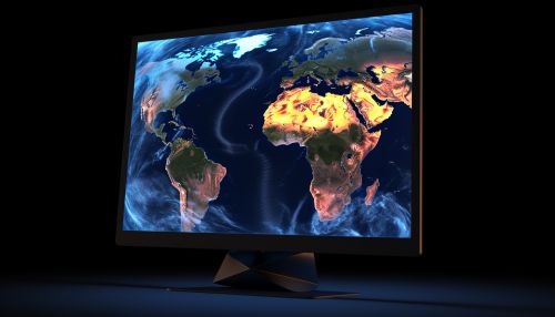
Geoinformatics is also used to assess the potential impacts of climate change on the environment and human societies. This is done by analyzing the predicted climate scenarios and assessing their potential impacts on various aspects of the environment and human societies such as agriculture, water resources, and human health.


Conclusion
Geoinformatics plays a crucial role in predicting climate change. The use of GIS, RS, and GPS allows for the accurate prediction of climate patterns and the assessment of potential impacts on the environment and human societies. As climate change continues to pose a significant threat to our planet, the role of geoinformatics in predicting and mitigating its impacts will only become more important.
