The Role of Geoinformatics in Land Use Planning
Introduction
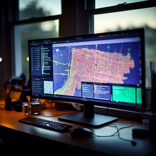
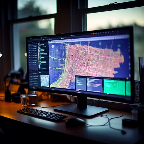
Geoinformatics, a discipline that uses Geographic Information Systems (GIS) and other related technologies, plays a critical role in land use planning. This field combines geospatial analysis and modeling, development of geospatial databases, information systems design, human-computer interaction and both wired and wireless networking technologies.


Geoinformatics and Land Use Planning
Land use planning is a complex process that involves the scientific, aesthetic, and orderly disposition of land, resources, facilities and services with a view to securing the physical, economic and social efficiency, health and well-being of urban and rural communities. Geoinformatics provides the tools necessary to carry out this process effectively and efficiently.
Tools of Geoinformatics
The primary tools used in geoinformatics include Geographic Information Systems (GIS), Remote Sensing (RS), and Global Navigation Satellite Systems (GNSS). These tools allow for the collection, storage, analysis, and presentation of geographically referenced information.
Geographic Information Systems
Geographic Information Systems (GIS) are computer-based tools used to store, visualize, analyze, and interpret geographic data. These data include anything that can be associated with a location on the globe, or more simply anything that can be geocoded.


Remote Sensing
Remote sensing is the process of detecting and monitoring the physical characteristics of an area by measuring its reflected and emitted radiation at a distance from the targeted area. Special cameras collect remotely sensed images, which are then analyzed to gather information.
Global Navigation Satellite Systems (GNSS) like GPS, GLONASS, Galileo, and BeiDou use satellites to provide autonomous geo-spatial positioning. It allows small electronic receivers to determine their location (longitude, latitude, and altitude) to within a few meters using time signals transmitted along a line of sight by radio from satellites. Receivers on the ground with a fixed position can also be used to calculate the precise time as a reference for scientific experiments.
Application of Geoinformatics in Land Use Planning
Geoinformatics has a wide range of applications in land use planning. These include urban planning, rural development, transportation, environmental protection, and natural resources management.
Urban Planning
In urban planning, geoinformatics can be used to create detailed land use maps, analyze urban growth patterns, and model the impact of urban development on various factors such as traffic, environment, and utilities.


Rural Development
In rural development, geoinformatics can be used to plan the location and development of infrastructure such as roads, schools, and health facilities. It can also be used to analyze and monitor land use changes and their impacts on rural communities.
Transportation
In the field of transportation, geoinformatics can be used to plan and manage transportation networks, analyze traffic patterns, and model the impact of transportation projects.
Environmental Protection
In environmental protection, geoinformatics can be used to map and monitor environmentally sensitive areas, assess the impact of human activities on the environment, and model the effects of climate change.
Natural Resources Management
In natural resources management, geoinformatics can be used to map and monitor the distribution and condition of natural resources, assess the impact of human activities on these resources, and plan for their sustainable use and conservation.
Conclusion
The role of geoinformatics in land use planning is vast and varied. It provides the tools necessary to collect, analyze, and present geographically referenced information in a way that is useful for planners and decision-makers. As technology continues to advance, the use of geoinformatics in land use planning is likely to become even more integral and widespread.
