The Role of Geoinformatics in Land Cover Mapping
Introduction
Geoinformatics, also known as geospatial informatics, is a multidisciplinary field that uses a combination of information technology and geographic information systems (GIS) to study and manage geographical data. One of the key applications of geoinformatics is in land cover mapping, which involves the use of remote sensing data to identify and categorize the physical features present on the Earth's surface.
Geoinformatics: An Overview
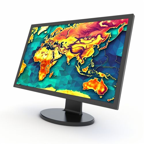
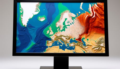
Geoinformatics is a branch of informatics that uses information science to solve complex geographical problems. It involves the collection, analysis, interpretation, distribution, and use of geographic information. Geoinformatics combines geospatial analysis and modeling, development of geospatial databases, information systems design, human-computer interaction and both wired and wireless networking technologies.
Land Cover Mapping: An Overview
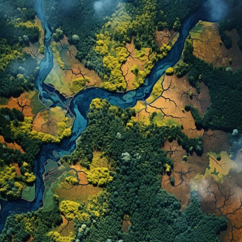
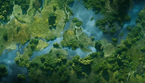
Land cover mapping is a process that involves the identification, classification, and mapping of different types of land cover. Land cover refers to the physical and biological features that cover the Earth's surface, including water bodies, ice, vegetation, and human-made structures. Land cover mapping is crucial for various applications, including environmental management, urban planning, and climate change studies.
The Role of Geoinformatics in Land Cover Mapping
Geoinformatics plays a critical role in land cover mapping through the following ways:
Data Collection
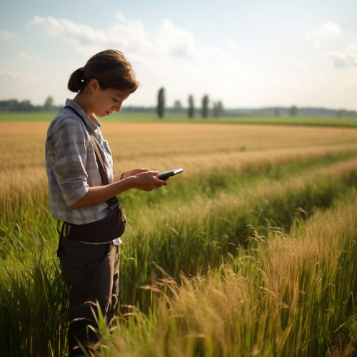
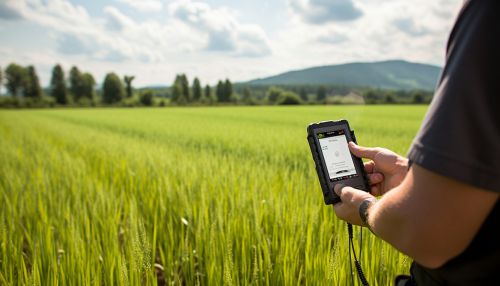
Geoinformatics provides tools and techniques for collecting geographical data. These include remote sensing technologies, such as satellite imagery and aerial photography, and ground-based methods, such as field surveys and GPS tracking. These data sources provide detailed and accurate information about the Earth's surface, which is essential for creating land cover maps.
Data Analysis
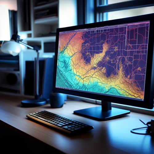
Geoinformatics also offers powerful tools for analyzing geographical data. These include GIS software, which can process and analyze large amounts of spatial data, and statistical tools, which can identify patterns and trends in the data. These tools allow researchers to classify different types of land cover and to detect changes in land cover over time.
Map Creation
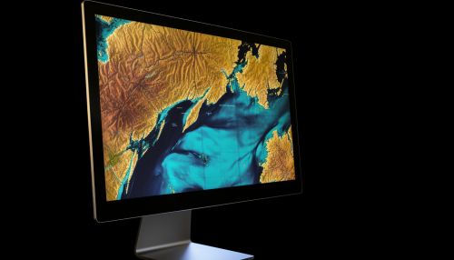
Finally, geoinformatics enables the creation of detailed and interactive land cover maps. These maps can display different types of land cover in various colors or symbols, and they can be zoomed in and out to view different levels of detail. They can also be updated regularly to reflect changes in land cover.
Applications of Geoinformatics in Land Cover Mapping
The use of geoinformatics in land cover mapping has numerous applications in various fields, including:
Environmental Management
Land cover maps can help environmental managers to monitor and manage natural resources. For example, they can be used to track deforestation, to identify areas at risk of soil erosion, and to plan conservation efforts.
Urban Planning
In urban planning, land cover maps can provide valuable information about the distribution of different types of land use, such as residential, commercial, and industrial areas. This information can help planners to make informed decisions about where to build new infrastructure and how to manage urban growth.
Climate Change Studies
In climate change studies, land cover maps can help researchers to understand how changes in land cover, such as deforestation and urbanization, are affecting the Earth's climate. They can also be used to predict future changes in climate based on projected changes in land cover.
Conclusion
In conclusion, geoinformatics plays a crucial role in land cover mapping. It provides the tools and techniques needed to collect and analyze geographical data, and to create detailed and interactive land cover maps. These maps have numerous applications in fields such as environmental management, urban planning, and climate change studies.
