The Role of Geoinformatics in Disaster Management
Introduction
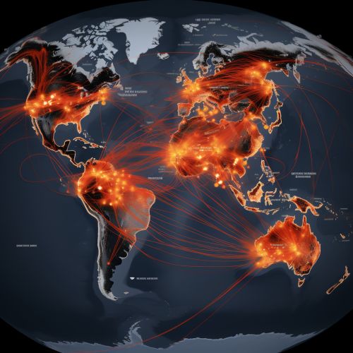
Geoinformatics, also known as geospatial informatics or geomatics, is the science and technology of gathering, processing, and delivering geographic information. It plays a significant role in disaster management, providing tools and techniques that aid in the prediction, mitigation, preparedness, response, and recovery phases of disaster management. This article explores the role of geoinformatics in disaster management, focusing on the application of Geographic Information Systems (GIS), Remote Sensing (RS), and Global Navigation Satellite Systems (GNSS) in various disaster management scenarios.


Geoinformatics and Disaster Management
Disaster management involves the organization and management of resources and responsibilities for dealing with all aspects of emergencies, particularly preparedness, response, and recovery in order to lessen the impact of disasters. Geoinformatics plays a crucial role in disaster management by providing spatial data and analytical tools that aid in the prediction, mitigation, preparedness, response, and recovery phases of disaster management.


Prediction and Mitigation
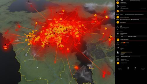
In the prediction and mitigation phase, geoinformatics aids in the identification of potential disaster zones and the assessment of vulnerability and risk. GIS can be used to create hazard maps, which depict areas that are susceptible to disasters such as floods, earthquakes, or landslides. These maps can be used to inform land-use planning and zoning decisions, helping to mitigate the potential impact of disasters.


Preparedness
In the preparedness phase, geoinformatics tools can be used to develop emergency response plans and evacuation routes. GIS can be used to identify the most efficient evacuation routes, taking into account factors such as road conditions, traffic, and the location of emergency shelters. RS can be used to monitor changes in the environment that may indicate an impending disaster, such as changes in vegetation or water levels.


Response
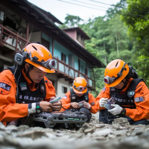
In the response phase, geoinformatics can aid in the coordination of emergency response efforts. GIS can be used to track the location of emergency responders and resources, helping to ensure that they are deployed where they are most needed. RS can be used to provide real-time imagery of the disaster area, aiding in the assessment of damage and the identification of areas that are in need of immediate assistance.


Recovery
In the recovery phase, geoinformatics can aid in the assessment of damage and the planning of recovery efforts. GIS can be used to map the extent of damage and to identify areas that are in need of reconstruction. RS can be used to monitor the progress of recovery efforts, providing a visual representation of the rebuilding process.


Challenges and Future Directions
Despite the significant benefits that geoinformatics can provide in disaster management, there are also challenges that need to be addressed. These include issues related to data availability and quality, the integration of different data sources, and the need for training and capacity building in the use of geoinformatics tools. Looking to the future, advancements in technology, such as the development of more sophisticated GIS and RS tools and the increasing availability of high-resolution satellite imagery, are expected to further enhance the role of geoinformatics in disaster management.
