Remote Sensing in Disaster Management
Introduction
Remote sensing is a scientific method that involves obtaining information about objects or areas from a distance, typically from aircraft or satellites. In the context of disaster management, remote sensing provides critical data and information that aid in the prediction, monitoring, response, and recovery from natural and man-made disasters. This article explores the role and application of remote sensing in disaster management, detailing its methodologies, technologies, and real-world applications.
Remote Sensing: An Overview
Remote sensing involves the detection and measurement of physical characteristics of an area by a recording device that is not in physical contact with the object under study. The process involves the use of electromagnetic radiation, reflected or emitted from the object, which is then analyzed and interpreted to extract useful information. Remote sensing is used in numerous fields, including geography, meteorology, environmental science, and disaster management.
Remote Sensing Technologies
There are various technologies employed in remote sensing, each with its unique capabilities and applications. These include:
Satellite Imagery
Satellite imagery is a common form of remote sensing, providing comprehensive coverage of large areas. Satellites equipped with sensors capture images of the Earth's surface, which can be analyzed to detect changes over time. This is particularly useful in disaster management, where monitoring changes in the environment can provide early warning signs of impending disasters.
Radar and Lidar Systems
Radar and Lidar systems use radio waves and light waves, respectively, to measure distances and map physical features. These technologies are especially useful in mapping terrain and detecting changes in the landscape that could indicate potential hazards.
Thermal and Infrared Sensors
Thermal and infrared sensors detect heat and radiation emitted from objects. These sensors are useful in detecting hotspots in wildfires, monitoring volcanic activity, and identifying areas of heat loss in the aftermath of a disaster.
Application of Remote Sensing in Disaster Management
Remote sensing plays a crucial role in all phases of disaster management, including mitigation, preparedness, response, and recovery.
Mitigation
In the mitigation phase, remote sensing is used to identify and analyze potential risk areas. This includes mapping and monitoring areas prone to disasters such as floods, landslides, and wildfires. By identifying these areas in advance, measures can be taken to mitigate the potential impact of these disasters.
Preparedness
During the preparedness phase, remote sensing aids in the development of emergency plans and evacuation routes. By providing detailed maps of the terrain and infrastructure, emergency planners can design effective evacuation routes and identify safe zones.
Response
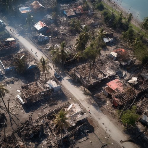
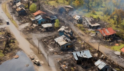
In the response phase, remote sensing provides real-time data and information that aid in the coordination of emergency response efforts. This includes identifying the extent of the disaster, locating affected populations, and assessing the damage to infrastructure.
Recovery
During the recovery phase, remote sensing aids in assessing the effectiveness of recovery efforts and planning for future disasters. This includes monitoring the restoration of infrastructure and the environment, and identifying areas that are still at risk.


Challenges and Future Directions
Despite its many advantages, the use of remote sensing in disaster management also presents several challenges. These include the high cost of remote sensing technologies, the need for specialized skills to interpret the data, and issues related to data privacy and security. Furthermore, the effectiveness of remote sensing is often dependent on the availability and reliability of the data, which can be affected by factors such as cloud cover and satellite orbit schedules.
Looking ahead, advancements in technology and data analysis methods are expected to enhance the capabilities of remote sensing in disaster management. This includes the development of more advanced sensors, the use of artificial intelligence and machine learning for data analysis, and the integration of remote sensing data with other sources of information for a more comprehensive understanding of disaster risks and impacts.
