The Role of Geoinformatics in Climate Modeling
Introduction
Geoinformatics, a field that combines geosciences and informatics, plays a crucial role in climate modeling. It involves the gathering, classification, storage, processing, and presentation of geographic information. Climate modeling, on the other hand, is a method used by scientists to understand the complexities of the climate system. The integration of geoinformatics in climate modeling has revolutionized the way scientists study and predict climate change. This article delves into the role of geoinformatics in climate modeling, discussing its applications, benefits, and challenges.


Geoinformatics: An Overview
Geoinformatics is a multidisciplinary field that uses information technology to solve problems related to geography, geosciences, and related branches of engineering. It involves the development and application of computational algorithms and data structures to handle spatially referenced data, leading to the creation of new methods for processing geographical information read more.
Climate Modeling: An Overview
Climate modeling is a method that uses quantitative methods to simulate the interactions of the important drivers of climate, including atmosphere, oceans, land surface, and ice. Climate models are used for a variety of purposes from study of the dynamics of the weather and climate system to projections of future climate read more.


Role of Geoinformatics in Climate Modeling
The integration of geoinformatics in climate modeling has brought about a significant improvement in the accuracy and efficiency of climate models. This is achieved through the use of Geographic Information Systems (GIS), remote sensing, and other geoinformatics tools.
Geographic Information Systems (GIS)
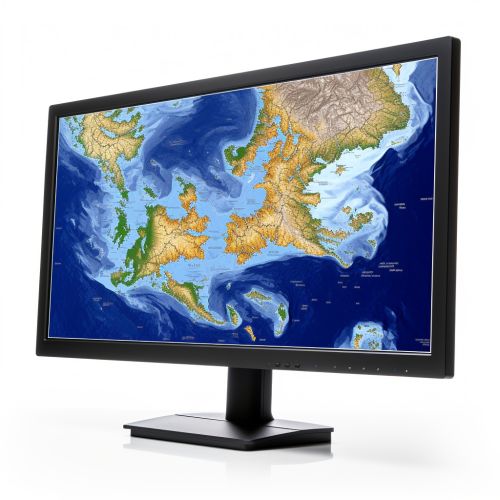
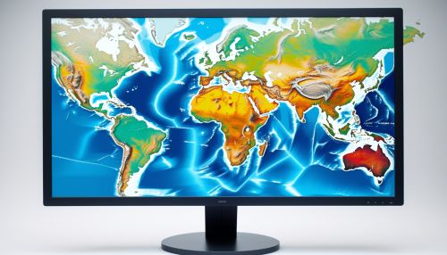
A Geographic Information System (GIS) is a computer system for capturing, storing, checking, integrating, manipulating, analyzing, and displaying data related to positions on the Earth's surface. In climate modeling, GIS is used to create and manage large datasets of geographical information, which are used in the creation of climate models read more.


Remote Sensing
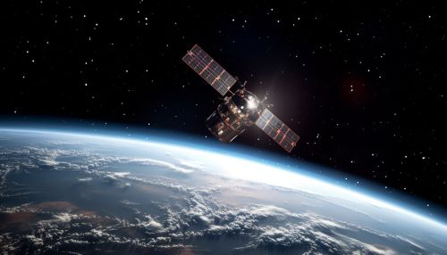
Remote sensing is the acquisition of information about an object or phenomenon without making physical contact with the object. In the context of climate modeling, remote sensing is used to collect data about the Earth's atmosphere, surface, and oceans, which are then used to feed climate models read more.


Benefits of Geoinformatics in Climate Modeling
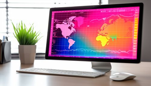
The use of geoinformatics in climate modeling has numerous benefits. It enhances the accuracy of climate models by providing precise and comprehensive data. It also improves the efficiency of climate modeling processes by automating data collection and analysis. Furthermore, it enables the visualization of climate models, making them easier to understand and interpret.
Challenges in the Application of Geoinformatics in Climate Modeling
Despite the numerous benefits, there are also challenges in the application of geoinformatics in climate modeling. These include the high cost of geoinformatics tools, the need for specialized skills to operate these tools, and the difficulty of managing and analyzing large volumes of data.
Conclusion
The integration of geoinformatics in climate modeling has significantly improved the way scientists study and predict climate change. Despite the challenges, the benefits of this integration are undeniable, making geoinformatics an indispensable tool in climate modeling.


