The Role of Geodesy in Global Positioning System
Introduction
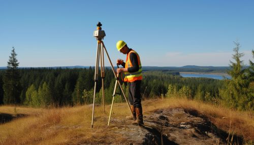
Geodesy is a scientific discipline that deals with the measurement and representation of the Earth, including its gravitational field, in a three-dimensional time-varying space. Geodesists use satellite and terrestrial measurements to determine the positions and motions of points on the Earth's surface, the shape and size of the Earth, and variations in its gravitational field. One of the most significant applications of geodesy is in the development and operation of the Global Positioning System (GPS).
Geodesy and GPS: A Historical Perspective
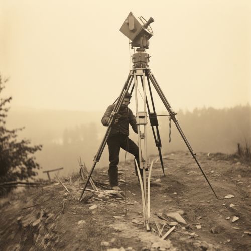
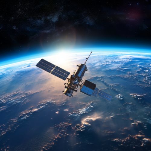
The history of geodesy is intertwined with the history of navigation and cartography. The first practical application of geodesy was in the creation of maps, which were essential for exploration, trade, and warfare. With the advent of space technology in the mid-20th century, geodesy entered a new era. The launch of the first artificial satellite, Sputnik, in 1957 marked the beginning of satellite geodesy. The tracking of Sputnik's orbit demonstrated the potential of using satellites for geodetic measurements, leading to the development of satellite-based positioning systems like GPS.
Fundamental Principles of Geodesy
Geodesy is based on several fundamental principles. The first is the concept of a geoid, an imaginary surface that represents the mean sea level extended over the continents. The geoid is used as a reference surface for geodetic measurements. Another fundamental principle is the determination of the geodetic datum, a set of reference points used to locate places on the Earth. The datum is defined by the geoid and a reference ellipsoid, an idealized mathematical model of the Earth's shape.


Role of Geodesy in GPS
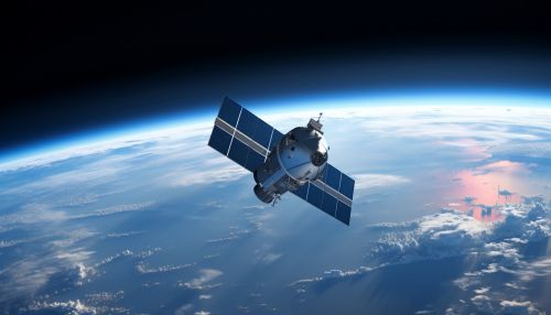
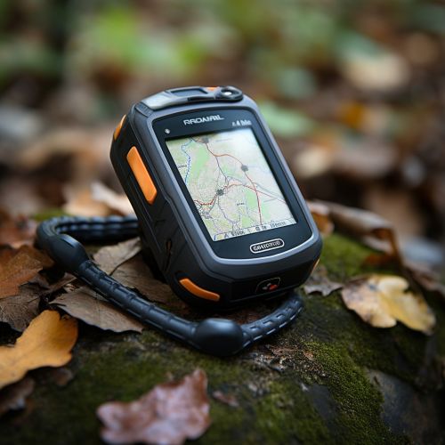
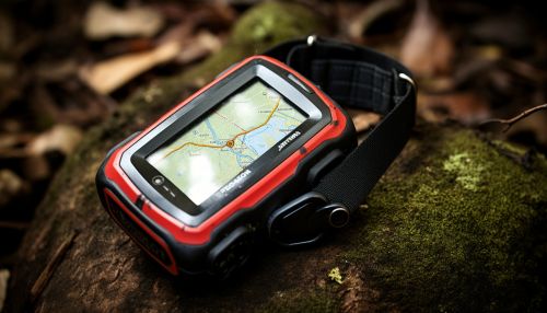
GPS is a satellite-based navigation system that provides accurate position, velocity, and time information to users anywhere on or near the Earth. The role of geodesy in GPS is multifaceted. Geodesy provides the mathematical models and techniques for determining the orbits of GPS satellites, correcting for errors in GPS signals, and converting GPS coordinates to positions on the Earth's surface. Geodesy also provides the reference frame, known as the World Geodetic System 1984 (WGS84), used by GPS.
GPS Satellite Orbits and Geodesy
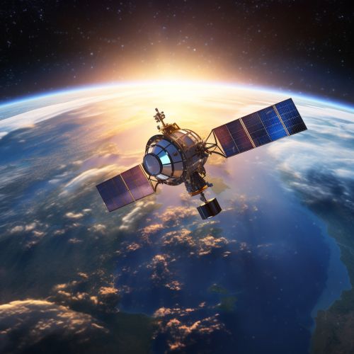
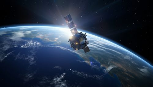
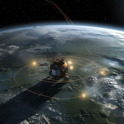
The orbits of GPS satellites are determined using geodetic techniques. These include the method of least squares, which minimizes the sum of the squares of the differences between the observed and computed satellite positions, and the method of orbital perturbations, which accounts for the effects of gravitational and non-gravitational forces on the satellite orbits.
GPS Signal Corrections and Geodesy
Geodesy plays a crucial role in correcting for errors in GPS signals. These errors can be caused by various factors, including the ionosphere, troposphere, satellite clock errors, and satellite orbit errors. Geodesists use models of the ionosphere and troposphere, precise satellite clock corrections, and precise satellite orbit determinations to correct for these errors and improve the accuracy of GPS positions.
GPS Coordinates and Geodesy
GPS coordinates are given in a global reference frame defined by the WGS84. Geodesy provides the techniques for converting these coordinates to positions on the Earth's surface. This involves transforming the GPS coordinates from the WGS84 reference frame to a local geodetic datum, and then converting the geodetic coordinates to Cartesian coordinates.
Conclusion
Geodesy plays a critical role in the operation and accuracy of GPS. From determining the orbits of GPS satellites to correcting for errors in GPS signals to converting GPS coordinates to positions on the Earth's surface, geodesy provides the mathematical models, techniques, and reference frames that make GPS a reliable and precise navigation system.
