Geoid
Definition and Overview
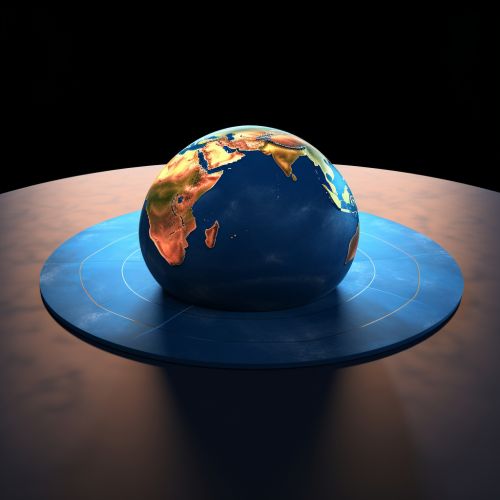
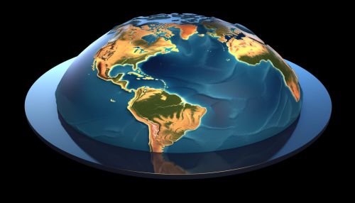
The Geoid is a hypothetical shape of the Earth that represents the mean sea level in the absence of tides, winds, and currents. It is an equipotential surface of the Earth's gravitational field, which means that the direction of gravity at every point on this surface is perpendicular to the geoid. The geoid is used as a reference surface from which topographic heights and ocean depths are measured.


Physical Characteristics
The geoid is not a perfect sphere or ellipsoid due to the uneven distribution of mass within the Earth. It has a slightly pear-shaped or oblate spheroid shape, bulging slightly at the equator and flattened at the poles. The geoid's shape is influenced by factors such as the Earth's rotation, the distribution of land and water masses, and the varying density of the Earth's interior.
Geoid and Earth's Gravitational Field
The geoid is an equipotential surface of the Earth's gravitational field, meaning that the potential energy of a mass located at any point on the geoid is the same. This is why the direction of gravity is always perpendicular to the geoid. The geoid is undulating due to variations in the Earth's gravitational field caused by uneven mass distribution.
Geoid Height
The geoid height is the distance from the Earth's reference ellipsoid, a mathematical model of the Earth's shape, to the geoid. The geoid height is positive where the geoid is above the reference ellipsoid and negative where it is below. Geoid height is used in geodesy, the scientific discipline that deals with the measurement and representation of the Earth.
Determination of the Geoid
The determination of the geoid is a complex process that involves the measurement of the Earth's gravitational field, the use of satellite altimetry data, and the application of mathematical and computational methods. The most accurate geoid models are determined using a combination of terrestrial gravity measurements, satellite altimetry data, and satellite gravitational observations.
Applications of the Geoid
The geoid has a wide range of applications in fields such as geodesy, surveying, oceanography, and satellite navigation. In geodesy and surveying, the geoid is used as a reference surface for measuring topographic heights and depths. In oceanography, the geoid is used to determine mean sea level and to study ocean currents and tides. In satellite navigation, the geoid is used to convert between ellipsoidal and orthometric heights.
Geoid and GPS
The Global Positioning System (GPS) uses a reference ellipsoid to calculate positions. However, for many applications, such as surveying and mapping, heights above the geoid (orthometric heights) are needed. Therefore, the geoid height, which is the difference between the ellipsoidal and orthometric heights, is used to convert between these two types of heights.
Geoid Models
There are various geoid models that have been developed to represent the geoid. These models vary in their complexity and accuracy. The most accurate geoid models are global models that are determined using a combination of terrestrial gravity measurements, satellite altimetry data, and satellite gravitational observations. Some of the most commonly used global geoid models include the EGM96, EGM2008, and the latest EGM2020 models.
