The Role of Geodesy in Earths Shape Measurement
Introduction
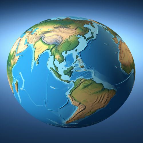
Geodesy, also known as geodetics, is the scientific discipline that deals with the measurement and representation of the Earth. The field of geodesy has played a crucial role in determining the shape of the Earth, which is not a perfect sphere but an oblate spheroid. This article delves into the role of geodesy in the measurement of Earth's shape, providing an in-depth understanding of the methods, principles, and applications of geodetic science.


History of Geodesy
Geodesy has a rich history that dates back to ancient times. The ancient Greeks were among the first to make significant strides in geodesy, with the philosopher Pythagoras theorizing that the Earth was spherical. Later, the Greek astronomer Eratosthenes made one of the earliest recorded measurements of the Earth's circumference.
Principles of Geodesy
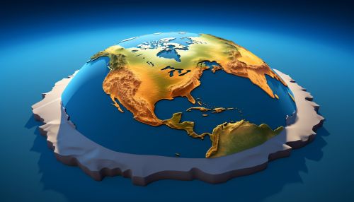
Geodesy is based on several fundamental principles. The first principle is the concept of the geoid, an imaginary surface that extends across the Earth's terrain and is perpendicular to the direction of gravity. The geoid is used as a reference surface from which to measure the Earth's physical features.


Geodetic Methods and Techniques
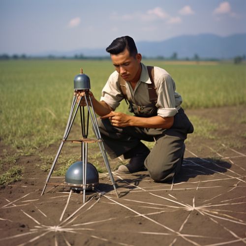
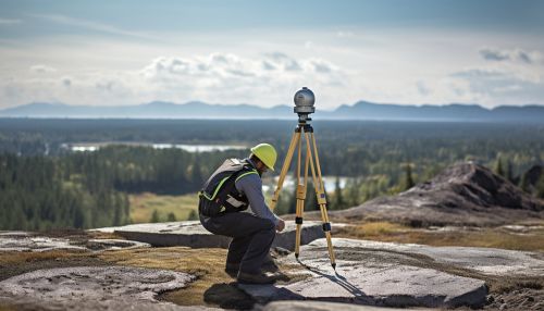
Geodesy employs a variety of methods and techniques to measure the Earth's shape. These include terrestrial techniques, such as triangulation and trilateration, as well as satellite-based techniques, such as Global Navigation Satellite Systems (GNSS) and satellite altimetry.
Applications of Geodesy
Geodesy has numerous applications in various fields. In cartography, geodesy provides the mathematical basis for all maps. In civil engineering, geodetic measurements are used in the construction of infrastructure such as bridges and tunnels. Geodesy also plays a critical role in geophysics, helping scientists understand the dynamics of the Earth's interior and its impact on the Earth's shape.


Challenges and Future Directions
Despite the advancements in geodetic technology, there are still challenges in measuring the Earth's shape with absolute precision. These challenges stem from factors such as the Earth's dynamic nature and the limitations of measurement techniques. Looking ahead, the field of geodesy is poised to continue evolving, driven by advancements in technology and our ever-increasing understanding of the Earth.
