Satellite Imagery in Environmental Science
Introduction
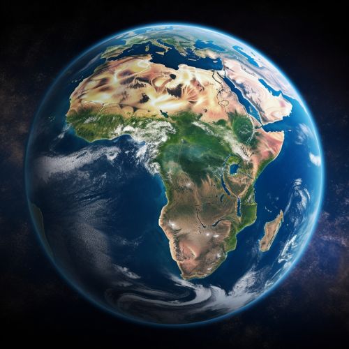
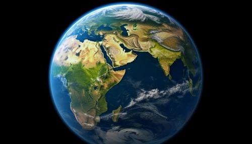
Satellite imagery is a critical tool in the field of Environmental Science, providing a unique perspective on the Earth's systems and processes. These images, captured by satellites orbiting the Earth, offer a wealth of data that can be used to monitor and study various aspects of the environment, from climate change to deforestation.


History and Development
The use of satellite imagery in environmental science has its roots in the mid-20th century, with the launch of the first weather satellites. The TIROS-1, launched by NASA in 1960, was the first satellite that was able to provide images of the Earth's cloud cover. This marked the beginning of a new era in environmental monitoring, as scientists were able to observe the Earth's atmosphere from a completely new perspective.
Over the years, the technology and techniques used to capture and analyze satellite images have evolved significantly. Today, satellites such as those in the Landsat program and the European Space Agency's Copernicus program are equipped with advanced sensors that can capture images in various wavelengths of light, allowing for detailed analysis of the Earth's surface and atmosphere.
Types of Satellite Imagery
There are several types of satellite imagery used in environmental science, each with its own advantages and limitations. These include:
- Optical imagery: This is the most common type of satellite imagery, and it involves capturing images in the visible, near-infrared, and short-wave infrared parts of the spectrum. Optical imagery is particularly useful for studying the Earth's surface and vegetation.
- Radar imagery: Unlike optical imagery, radar imagery can penetrate clouds, making it useful for studying the Earth's surface in regions with frequent cloud cover. Radar imagery is also used to study geological structures and to monitor changes in the Earth's surface.
- Thermal imagery: This type of imagery measures the thermal radiation emitted by the Earth's surface. It is used to study temperature variations on the Earth's surface, which can provide information about various environmental factors such as soil moisture and vegetation health.
- Multispectral and hyperspectral imagery: These types of imagery capture images in multiple bands of the electromagnetic spectrum. This allows for detailed analysis of the Earth's surface and atmosphere, and can provide information about a wide range of environmental factors.
Applications in Environmental Science
Satellite imagery has a wide range of applications in environmental science. Some of the key areas where it is used include:
- Climate Change: Satellite imagery is a crucial tool in the study of climate change. It allows scientists to monitor changes in the Earth's ice caps and glaciers, track sea level rise, and observe changes in vegetation patterns.
- Biodiversity: Satellite imagery can be used to monitor biodiversity on a global scale. By analyzing changes in vegetation and land use, scientists can track the impact of human activities on wildlife habitats.
- Natural Disasters: Satellite imagery is often used to monitor and respond to natural disasters. It can provide real-time information about the extent and impact of events such as wildfires, floods, and hurricanes.
- Land Use and Urbanization: Satellite imagery can provide detailed information about land use patterns and urbanization. This can be used to study the impact of human activities on the environment, and to plan for sustainable development.
Challenges and Limitations
Despite its many advantages, the use of satellite imagery in environmental science also has some limitations. These include:
- Data Quality: The quality of satellite images can be affected by various factors, such as atmospheric conditions, sensor limitations, and the angle at which the images are captured.
- Data Interpretation: Interpreting satellite images can be complex, as it requires a deep understanding of the physical and biological processes that influence the data.
- Cost: While the cost of satellite imagery has decreased in recent years, it can still be a significant barrier for some researchers and organizations.
- Temporal Resolution: While some satellites can capture images of the same area multiple times a day, others may only be able to do so once every few days or weeks. This can limit the ability to monitor rapid changes in the environment.
Future Directions
The use of satellite imagery in environmental science is likely to continue to grow in the coming years, driven by advances in technology and an increasing recognition of the importance of monitoring the Earth's environment. Future developments may include the launch of more advanced satellites, the development of new techniques for analyzing satellite data, and the integration of satellite imagery with other types of environmental data.
