Role of Geodesy in Geospatial Data Acquisition
Introduction
Geodesy, the scientific discipline that deals with the measurement and representation of the Earth, plays a pivotal role in geospatial data acquisition. It provides the fundamental framework and tools necessary for accurately capturing, analyzing, managing, and displaying geospatial information. This article delves into the intricate relationship between geodesy and geospatial data acquisition, shedding light on the importance of geodesy in various geospatial applications and technologies.
Geodesy: An Overview
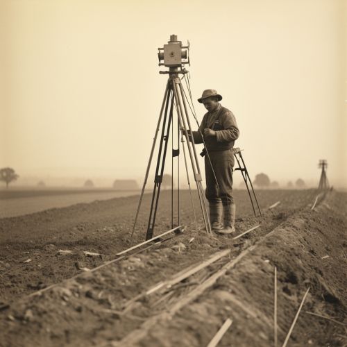
Geodesy is a branch of earth sciences that focuses on the study of Earth's shape, size, orientation, gravitational field, and their changes over time. It is a critical scientific field that underpins all geospatial data acquisition, providing the mathematical models and reference systems necessary for precise location determination on the Earth's surface. Geodesy's origins can be traced back to ancient times, but it has evolved significantly with the advent of modern technologies like GNSS and remote sensing.
Geospatial Data Acquisition
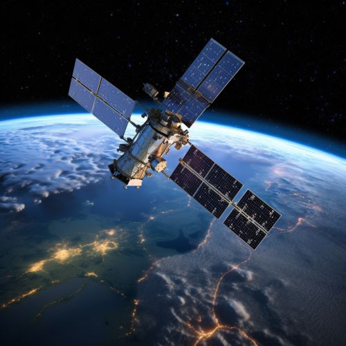
Geospatial data acquisition refers to the process of collecting information about physical objects, phenomena, or events that occur on the Earth's surface. This data is typically represented in the form of maps, images, or digital models, and is used in a wide range of applications, from urban planning and environmental management to navigation and disaster response. Geospatial data can be acquired through various means, including ground surveys, aerial photography, satellite imagery, and GNSS.
Role of Geodesy in Geospatial Data Acquisition
Geodesy provides the fundamental basis for all geospatial data acquisition. It offers the mathematical models, reference systems, and measurement techniques necessary for accurately capturing geospatial data. Without geodesy, it would be impossible to precisely determine locations on the Earth's surface or to accurately represent the Earth in maps and geospatial databases.
Geodetic Reference Systems
One of the key contributions of geodesy to geospatial data acquisition is the development of geodetic reference systems. These systems provide a consistent, standardized framework for representing locations on the Earth's surface. They are essential for ensuring the accuracy and consistency of geospatial data, and are used in virtually all geospatial applications, from mapping and surveying to navigation and remote sensing.
Geodetic Measurements
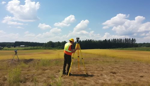
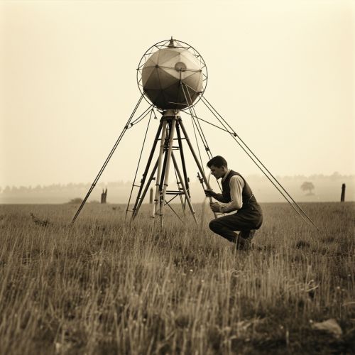
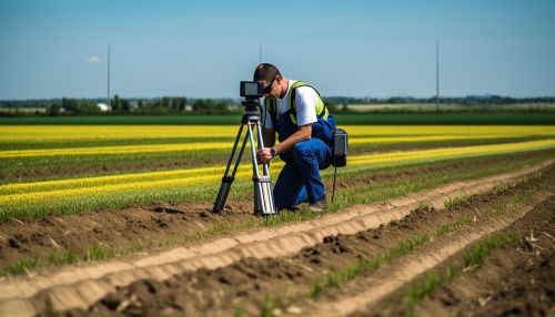
Geodesy also provides the tools and techniques necessary for precise geodetic measurements. These include traditional surveying methods, such as triangulation and trilateration, as well as modern techniques, like GNSS and INS. These measurement techniques are critical for capturing accurate geospatial data and for calibrating and validating other data acquisition methods, like remote sensing and photogrammetry.
Geodetic Models
Geodesy also provides the mathematical models necessary for representing the Earth's shape, size, and gravitational field. These models, known as geoids and ellipsoids, are used to convert between geographic coordinates (latitude and longitude) and Cartesian coordinates (x, y, z). They are also used to correct for the effects of the Earth's curvature and gravitational field in geospatial data.
Applications of Geodesy in Geospatial Data Acquisition
Geodesy plays a crucial role in a wide range of geospatial applications, from mapping and surveying to navigation and remote sensing. It provides the fundamental framework and tools necessary for accurately capturing, analyzing, managing, and displaying geospatial data.
Mapping and Surveying
In mapping and surveying, geodesy provides the reference systems and measurement techniques necessary for accurately determining locations on the Earth's surface. It also provides the mathematical models necessary for representing the Earth's shape and size in maps and geospatial databases.
In navigation, geodesy provides the reference systems and measurement techniques necessary for accurately determining positions and velocities. It also provides the mathematical models necessary for correcting for the effects of the Earth's curvature and gravitational field.
Remote Sensing
In remote sensing, geodesy provides the reference systems and measurement techniques necessary for accurately georeferencing images and other data. It also provides the mathematical models necessary for correcting for the effects of the Earth's curvature and gravitational field.
Conclusion
Geodesy plays an indispensable role in geospatial data acquisition, providing the fundamental framework and tools necessary for accurately capturing, analyzing, managing, and displaying geospatial information. Its contributions to geospatial data acquisition are vast and varied, spanning from the development of geodetic reference systems and measurement techniques to the provision of mathematical models for representing the Earth's shape, size, and gravitational field. As geospatial technologies continue to advance, the importance of geodesy in geospatial data acquisition is only set to increase.
