Remote Sensing in Urban Planning
Introduction
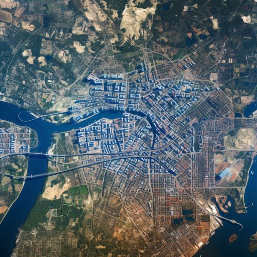
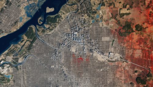
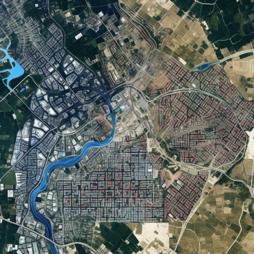
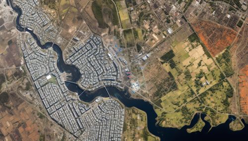
Remote sensing is a scientific method that involves obtaining information about objects or areas from a distance, typically from aircraft or satellites Remote Sensing. In the context of urban planning, remote sensing provides critical data and information about the urban environment, its changes and trends, which can be used for various planning and management purposes Urban Planning. This article delves into the applications, techniques, benefits, and challenges of using remote sensing in urban planning.

Applications of Remote Sensing in Urban Planning
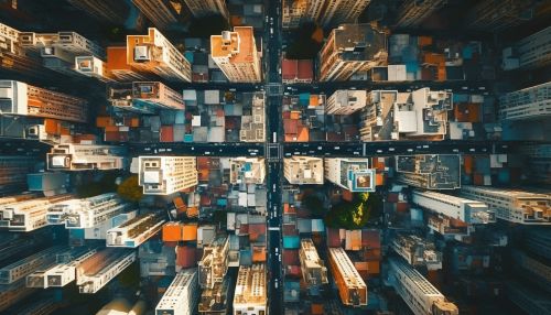
Remote sensing plays a vital role in several aspects of urban planning. It provides valuable data for land use and land cover mapping, urban growth analysis, environmental impact assessment, infrastructure planning, and disaster management among others.
Land Use and Land Cover Mapping
Land use refers to the purpose for which humans utilize the geographical areas such as residential, industrial, or agricultural, while land cover refers to the physical material at the surface of the earth such as grass, asphalt, trees, or bare ground Land Use. Remote sensing provides a means to map and monitor land use and land cover changes in an urban area over time, which is crucial for urban planning Land Cover.
Urban Growth Analysis
Remote sensing data, especially from satellite imagery, can be used to analyze urban growth patterns and trends. This can help in understanding how a city is expanding, where new development is likely to occur, and what areas are at risk of being overdeveloped.
Environmental Impact Assessment
Remote sensing can be used to assess the impact of urban development on the environment. For example, it can help in identifying areas of deforestation, loss of green spaces, changes in water bodies, and air pollution levels.
Infrastructure Planning
Infrastructure planning involves the design and planning of public utilities and services such as roads, bridges, water supply, and sewage systems. Remote sensing can provide valuable data for infrastructure planning, such as topographic information, land use patterns, and existing infrastructure.
Disaster Management
In the event of natural disasters such as floods, earthquakes, or hurricanes, remote sensing can provide critical information for disaster management. It can help in identifying the areas affected by the disaster, assessing the damage, and planning the recovery and reconstruction efforts.
Techniques of Remote Sensing in Urban Planning
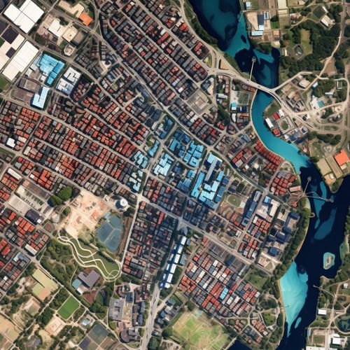
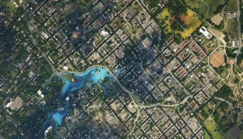
There are several techniques of remote sensing that are used in urban planning. These include aerial photography, satellite imagery, LiDAR, and GIS among others.
Aerial Photography
Aerial photography involves taking photographs of the earth's surface from an aircraft. These photographs can provide high-resolution data about the urban environment, which can be used for detailed mapping and analysis.
Satellite Imagery
Satellite imagery involves capturing images of the earth's surface from satellites. These images can provide a wide coverage of an area and can be used for large-scale mapping and analysis.
LiDAR
LiDAR (Light Detection and Ranging) is a remote sensing method that uses light in the form of a pulsed laser to measure distances to the earth. It can provide highly accurate elevation data, which is useful for topographic mapping and infrastructure planning.
GIS
GIS (Geographic Information System) is a system designed to capture, store, manipulate, analyze, manage, and present spatial or geographic data. It can be used to integrate and analyze the data obtained from other remote sensing techniques.

Benefits of Using Remote Sensing in Urban Planning
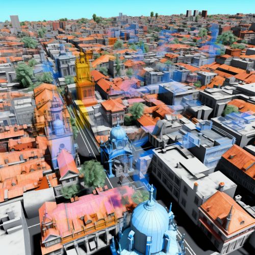
There are several benefits of using remote sensing in urban planning. These include the ability to obtain large-scale data, cost-effectiveness, time efficiency, and the ability to monitor changes over time.
Large-scale Data
Remote sensing can provide data for a large area in a relatively short period of time. This is particularly useful for urban planning in large cities or metropolitan areas.
Cost-effectiveness
Compared to traditional methods of data collection such as field surveys, remote sensing can be a more cost-effective method. This is especially true for large-scale projects or when the area of interest is difficult to access.
Time Efficiency
Remote sensing can provide data in a timely manner. This is crucial in urban planning where timely data is often needed for decision making.
Monitoring Changes Over Time
Remote sensing allows for the monitoring of changes in the urban environment over time. This can provide valuable insights into urban growth trends, land use changes, and the impact of urban development on the environment.
Challenges of Using Remote Sensing in Urban Planning
Despite its benefits, there are also challenges in using remote sensing in urban planning. These include issues related to data accuracy, data interpretation, and data cost.
Data Accuracy
While remote sensing can provide a large amount of data, the accuracy of this data can sometimes be a concern. Factors such as atmospheric conditions, sensor limitations, and errors in data processing can affect the accuracy of remote sensing data.
Data Interpretation
Interpreting remote sensing data can be complex and requires expertise. Differentiating between similar land cover types or understanding complex urban patterns can be challenging.
Data Cost
While remote sensing can be cost-effective compared to field surveys, the cost of acquiring and processing remote sensing data can still be high. This can be a barrier for some urban planning projects, especially in developing countries.
See Also
References
1. "Remote Sensing for Urban Planning". Journal of Urban Planning and Development. DOI: 10.1061/(ASCE)0733-9488(2000)126:2(81). 2. "Applications of Remote Sensing in Urban Planning". International Journal of Remote Sensing. DOI: 10.1080/01431160310001598944. 3. "Challenges of Using Remote Sensing in Urban Planning". Urban Studies. DOI: 10.1177/0042098015572525.
