Raster data
Introduction
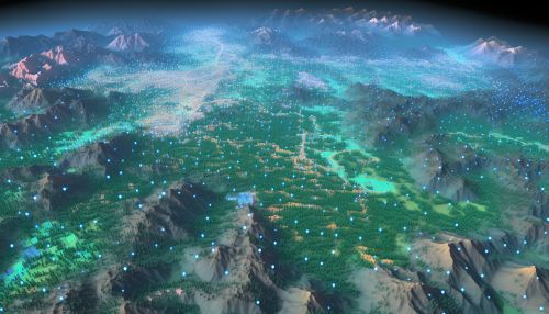
Raster data is a type of geospatial data that is often used in Geographic Information Systems (GIS). It represents a matrix of cells (or pixels) organized into a grid where each cell contains a value representing information, such as temperature or elevation. Raster data is crucial in digital image processing, remote sensing, and many other fields.


Types of Raster Data
There are two primary types of raster data: continuous and discrete.
Continuous Raster Data
Continuous raster data, also known as surface data, represents phenomena that are continuous across the Earth's surface and have a measurable value at any location. Examples of continuous data include elevation, temperature, and precipitation levels.
Discrete Raster Data
Discrete raster data represents features that are distinct and often have defined boundaries. This type of data is often used to represent categorical data, such as land use or soil type.
Raster Data Structure
The structure of raster data is based on a grid of cells, often referred to as pixels. Each cell in the grid represents a specific geographic area and contains a value that represents a particular characteristic of that area. The size of the cell determines the resolution of the raster data, with smaller cells providing higher resolution.
Raster Data Formats
Raster data can be stored in various formats, including TIFF, JPEG, PNG, and BMP. These formats differ in their compression techniques, which can affect the quality and size of the raster data file.
TIFF
The TIFF is a flexible raster data format that supports multiple data types and compression schemes. It is widely used for storing high-quality raster data.
JPEG
The JPEG format is commonly used for storing photographic images. It uses lossy compression, which can result in some loss of data and quality.
PNG
The PNG format is a lossless compression format that is often used for storing images on the web. It supports transparency, which can be useful in GIS applications.
BMP
The BMP format is an uncompressed raster data format that is commonly used in Windows applications.
Raster Data Analysis
Raster data analysis involves performing operations on raster data to extract useful information. This can include tasks such as classification, filtering, and statistical analysis.
Classification
Classification involves assigning each cell in a raster dataset to a particular category based on its value. This is often used in remote sensing to classify land cover types.
Filtering
Filtering involves changing the value of each cell in a raster dataset based on the values of its neighboring cells. This can be used to smooth or sharpen the data.
Statistical Analysis
Statistical analysis of raster data can include calculating the mean, median, mode, and standard deviation of the cell values. This can provide insights into the distribution and variability of the data.
Applications of Raster Data
Raster data has a wide range of applications in various fields, including:
Geographic Information Systems
In GIS, raster data is used to represent spatially continuous phenomena, such as elevation or temperature.
Remote Sensing
In remote sensing, raster data is used to represent the reflectance or emission of electromagnetic energy from the Earth's surface.
Digital Image Processing
In digital image processing, raster data is used to represent digital images for manipulation and analysis.
